Summary
The ideal streamflow range for this river is between 1,000 and 2,500 cfs. The river is rated as a Class III-IV, which indicates that it is suitable for intermediate to advanced paddlers.
The segment mileage of the Kilches River is approximately 13 miles, making for a thrilling day-long adventure. The river features several challenging rapids, including "The Chute," "The Box," and "Pumphouse Rapid." These rapids are known for their steep drops, tight turns, and technical maneuvers. Additionally, paddlers will encounter several large boulders and fallen trees that pose additional obstacles.
Due to the challenging nature of the Kilches River, there are several regulations in place to ensure the safety of paddlers. All paddlers are required to wear a personal flotation device (PFD) at all times when on the river. Additionally, paddlers must be experienced and have the appropriate gear, including a helmet, wetsuit, and paddle.
In conclusion, the Kilches River is an exciting whitewater destination in Oregon, with a challenging Class III-IV rating, tight turns, and several obstacles. Paddlers should ensure they have appropriate experience and gear before attempting this river, and all regulations must be followed for safe and enjoyable river running.
°F
°F
mph
Wind
%
Humidity
15-Day Weather Outlook
River Run Details
| Last Updated | 2025-06-28 |
| River Levels | 338 cfs (2.34 ft) |
| Percent of Normal | 58% |
| Status | |
| Class Level | iii-iv |
| Elevation | ft |
| Streamflow Discharge | cfs |
| Gauge Height | ft |
| Reporting Streamgage | USGS 14301000 |
5-Day Hourly Forecast Detail
Nearby Streamflow Levels
 Nehalem River Near Foss
|
2090cfs |
 Wilson River Near Tillamook
|
1460cfs |
 Trask River Above Cedar Creek
|
1320cfs |
 Tucca Creek Near Blaine
|
23cfs |
 Nestucca River Near Beaver
|
1220cfs |
 Nehalem River Near Vernonia
|
165cfs |
Area Campgrounds
| Location | Reservations | Toilets |
|---|---|---|
 Kilchis Park
|
||
 Keenig Creek Campground
|
||
 Nehalem Falls - State Forestry
|
||
 Nehalem Falls Campground
|
||
 Jones Creek
|
||
 Barview Jetty County Campground
|


 Mohler Sand & Gravel
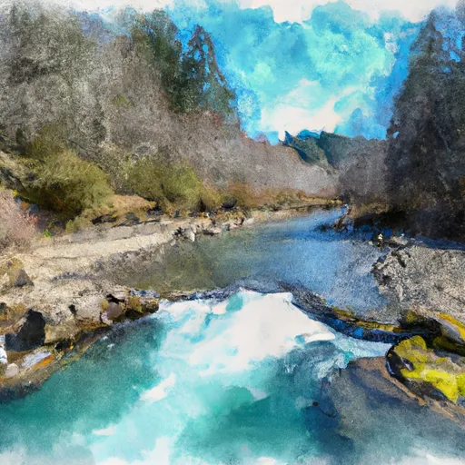 Kilches River
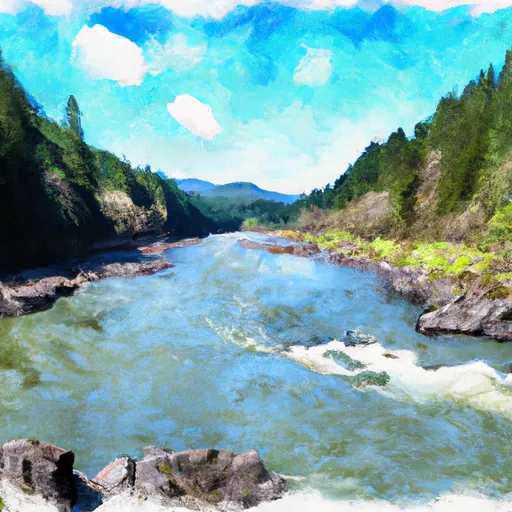 Wilson River
 Manhattan Beach State Recreation Site
 Rockaway Beach State Recreation Site
 Twin Rocks State Natural Site
 Nehalem Bay State Park
 Barview Jetty County Park