

Summary
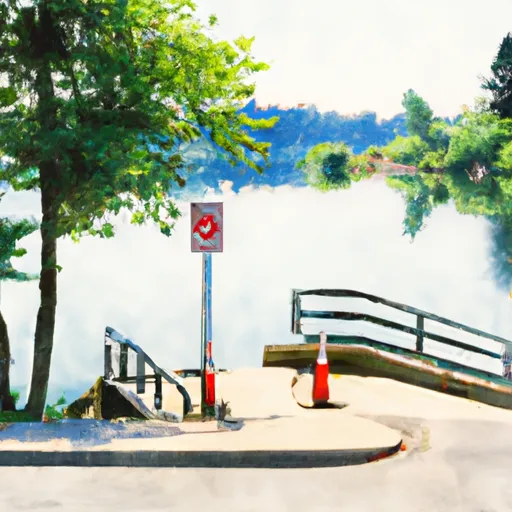
The ramp is approximately 20 feet wide, making it suitable for launching small to medium-sized watercraft.
This boat ramp services Lake Stevens, a 1,000-acre freshwater lake located in Snohomish County, Washington. The lake is popular for fishing, boating, and other water-based activities.
According to the Washington State Parks and Recreation Commission, all types of watercraft are permitted on Lake Stevens, including powerboats, sailboats, kayaks, canoes, and stand-up paddleboards. However, it is important to note that there are specific regulations and requirements for different types of watercraft, such as the need for a Washington State Boater Education Card for certain motorized vessels.
Overall, the 123rd Drive Northeast 1709 boat ramp in Lake Stevens provides easy access to the lake for boaters and water enthusiasts of all kinds.
 123rd Drive Northeast 1709, Lake Stevens
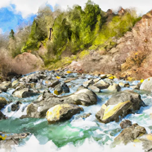 Headwaters In Ne1/4 Of Sec 14, T29N, R10E To Confluence With Canyon Creek