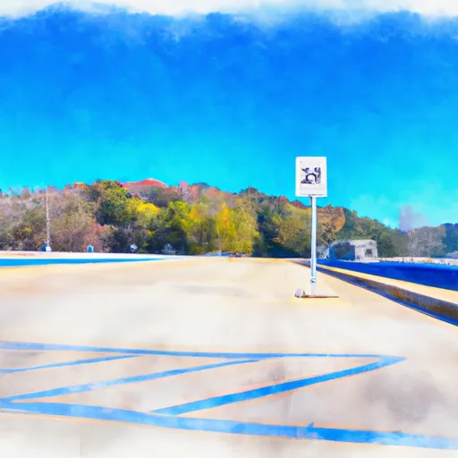
Highway 390 4100-4240, Bluff City Boat Launch
Community Reviews
Been here? Share the conditions.
Reviews, ratings & photos are added in the free Snoflo iOS app — rate a spot, tag the conditions, and your visit is verified by location. Add or manage your reviews from the app.
Highway 390 4100-4240, Bluff City
However, there is a public boat ramp located in Bluff City that services Boone Lake, which is a popular recreational area for fishing, boating, and water sports. This ramp is known as Boone Lake - Pickens Bridge Access Area.
According to the Tennessee Wildlife Resources Agency, the Pickens Bridge Access Area has a single concrete ramp that is approximately 16 feet wide and suitable for launching small to medium-sized watercraft. The ramp is free to use and is open year-round, weather permitting.
Boone Lake is a reservoir on the South Fork Holston River that spans over 4,500 acres and is approximately 30 miles in length. The lake is primarily used for recreational boating and fishing, with a variety of fish species such as bass, catfish, and crappie.
All types of watercraft are permitted on Boone Lake, including motorized boats, canoes, kayaks, and paddleboards. However, it is important to note that there are specific regulations and safety guidelines that apply to each type of watercraft. It is recommended to review these regulations before visiting the lake.
Plan your launch down to the hour
Same weather feed Snoflo's iOS app uses -- updated continuously from NOAA / yr.no.
Next 5 days, hour by hour
Temperature line with weather symbols on top, snow + rain accumulation as columns, humidity as a dotted line.
5-day forecast table
Every 3 hours, broken out across temperature, snow, rain, humidity, and wind.
| Time | Condition | Temp (°F) | Snow (in) | Rain (in) | Humidity (%) | Wind (mps) | Wind dir |
|---|---|---|---|---|---|---|---|
| Loading detailed forecast… | |||||||
15-day temperature & precipitation
Daily temperatures, snow, and rain projected over the next two weeks.
Area streamflow levels
USGS streamgauges around Highway 390 4100-4240, Bluff City -- the same readings that determine whether your launch is safe and your boat is the right craft.
| Streamgauge | Discharge | View |
|---|---|---|
| Watauga River At Elizabethton | 516 cfs | → |
| Doe River At Elizabethton | 293 cfs | → |
| Beaver Creek At Bristol | 23 cfs | → |
| N F Holston River Near Gate City | 378 cfs | → |
| Nolichucky River At Embreeville | 2,020 cfs | → |
| S F Holston River Near Damascus | 174 cfs | → |
Plan a longer trip
The closest paddle runs, fishing spots, and other boat launches so you can extend a day on the water.
River runs
- Headwaters To Tn/Va State Line
- Watauga Reservoir To Tn/Nc State Line
- Tn/Nc State Line (Rm 100.6) To Mine Branch (Rm 99.3)
- Confluence With Guest River To Confluence With Little Stony Creek
- Fs Route 700 To Confluence With Clinch River
- Boundary Between Mitchell And Yancy Counties To Nc/Tn Stateline
Boating safety & etiquette
- Check the conditions before you launch
- Use the streamflow numbers, weather, and wind forecast on this page. High-cfs whitewater requires whitewater-specific craft and skill.
- Wear your life jacket
- Statistically the single biggest survival factor in a boating incident. State law often requires one per passenger.
- File a float plan
- Tell someone on shore your put-in, take-out, and expected return time. Especially for multi-day or remote trips.
- Yield at the ramp
- Prep gear in the parking lot, not on the ramp. Launch and clear quickly so others can use the lane.
- Clean, drain, dry
- Inspect, clean, drain and dry your boat between waters to prevent the spread of aquatic invasive species.
Set push alerts in the Snoflo app
Save Highway 390 4100-4240, Bluff City as a favorite, set a discharge threshold or a wind/precipitation alert, and the iOS app will push the moment conditions cross.
About Highway 390 4100-4240, Bluff City
Can I launch a motorboat here?
Most Snoflo-tracked launches support motorboats; check the operator for any horsepower restrictions, paddle-only zones, or seasonal closures.
How fresh is the streamflow data?
USGS streamgauges report continuously (every 15 minutes); the table on this page pulls the latest reading at page load.
Is there a fee?
Many federal and state boat launches charge a day-use fee. Check the operator's site before driving out.
What boat is right for these conditions?
Use the nearby streamflow numbers and river-run panel on this page to gauge current conditions. Wider, slower water is friendly for casual paddling and powerboats; high-cfs whitewater requires whitewater-specific craft and skill.
Can I get alerts when conditions change?
Yes -- alerts are managed in the Snoflo iOS app. Favorite this launch, set a threshold (discharge, wind), and you'll get a push the moment it crosses.
Other launches near here
Snoflo-tracked boat launches within driving distance of Highway 390 4100-4240, Bluff City.