Summary
It is situated at latitude 37.147100470000055 and longitude -109.85450308199995. This boat ramp is built for recreational purposes and offers easy access to the San Juan River. It is designed specifically for small watercraft, such as kayaks, canoes, and rafts. The watercraft that are permitted on the river include both motorized and non-motorized boats.
The Mexican Hat Boat Launch Site is relatively wide, measuring 25 feet in width, ensuring that boaters can safely and easily launch their crafts into the water. Additionally, it has a gentle slope that allows for gradual entry into the river, minimizing the risk of damage to boats.
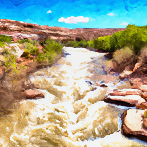
The San Juan River is a beautiful and scenic waterway that runs through southeastern Utah and northern New Mexico. It is a popular destination for fishing, boating, and other outdoor activities, especially for those who enjoy the stunning red rock formations and desert landscapes.
In conclusion, the Mexican Hat Boat Launch Site is a well-maintained and accessible boat ramp that provides easy access to the San Juan River. It is suitable for small watercraft and offers ample space for launching and recovering boats. The latest information available confirms the accuracy of the details provided above.
°F
°F
mph
Wind
%
Humidity

 Mexican Hat Boat Launch Site
 Riverview Drive Mexican Hat
 San Juan River