Summary
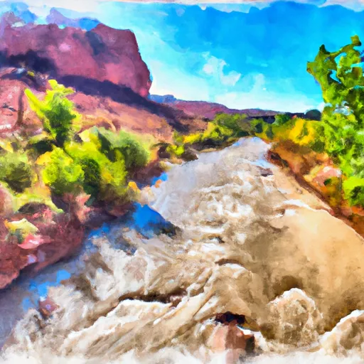
This boat ramp provides access to the San Rafael River, which is known for its scenic beauty and challenging rapids.
According to recent reports, the San Rafael River Put In boat ramp is a concrete ramp that is approximately 15 feet wide and is suitable for trailer launching. It is advised to use a four-wheel-drive vehicle to launch a boat from this ramp, as the dirt road leading to the ramp can be rough and rocky.
The San Rafael River is primarily used for recreational kayaking and rafting. The rapids on this river range from Class II to Class V, making it a popular destination for experienced kayakers and white-water enthusiasts. However, it is important to note that permits are required for certain sections of the river, and visitors should check with the local authorities for the latest regulations and restrictions.
In summary, the San Rafael River Put In boat ramp is a concrete ramp that provides access to the San Rafael River in Utah. It is approximately 15 feet wide and is suitable for trailer launching, although a four-wheel-drive vehicle is recommended. The river is primarily used for kayaking and white-water rafting, and permits may be required for certain sections.
°F
°F
mph
Wind
%
Humidity

 San Rafael River Put In
 San Rafael Boat Take Out
 San Rafael River
 Little Grand Canyon