Summary
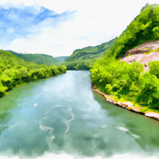
The ramp is approximately 40 feet wide and is suitable for launching small to medium-sized watercraft. The launch provides access to the Summersville Lake, which is an artificial reservoir on the Gauley River.
According to the West Virginia Department of Natural Resources, the lake is popular for fishing, boating, kayaking, and swimming. The lake permits boats with gasoline and electric motors, but jet skis and personal watercraft are not allowed. Additionally, the lake has several coves and bays where boaters can anchor and camp overnight with a valid permit.
The information provided was last verified on the West Virginia Department of Natural Resources website on August 24, 2021.
°F
°F
mph
Wind
%
Humidity
15-Day Weather Outlook
5-Day Hourly Forecast Detail
Area Streamflow Levels
| PETERS CREEK NEAR LOCKWOOD | 79cfs |
| MEADOW RIVER AT NALLEN | 248cfs |
| GAULEY RIVER ABOVE BELVA | 869cfs |
| GAULEY RIVER NEAR CRAIGSVILLE | 395cfs |
| KANAWHA RIVER AT KANAWHA FALLS | 4400cfs |
| ELK RIVER AT CLAY | 11200cfs |

 Battle Run Public Boat Launch
 Begins Below Summersville Lake To The Town Of Swiss
 Upper Gauley - Summersville Dam to Mason Branch
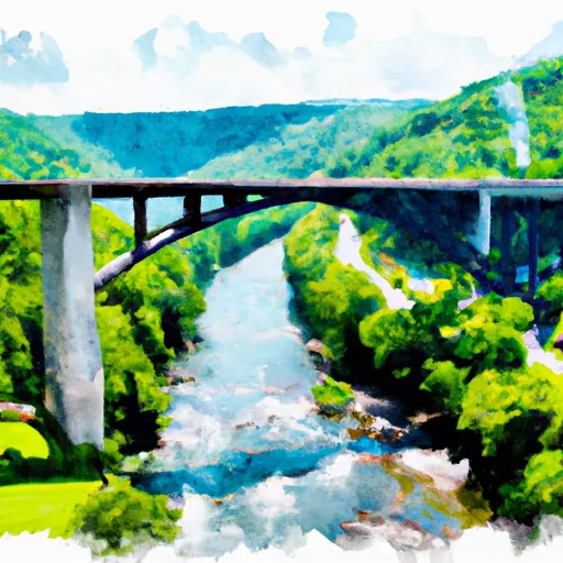
 The Route U.S. 19 Bridge To The Confluence With The Gauley River