Timpooneke
April 25, 2024
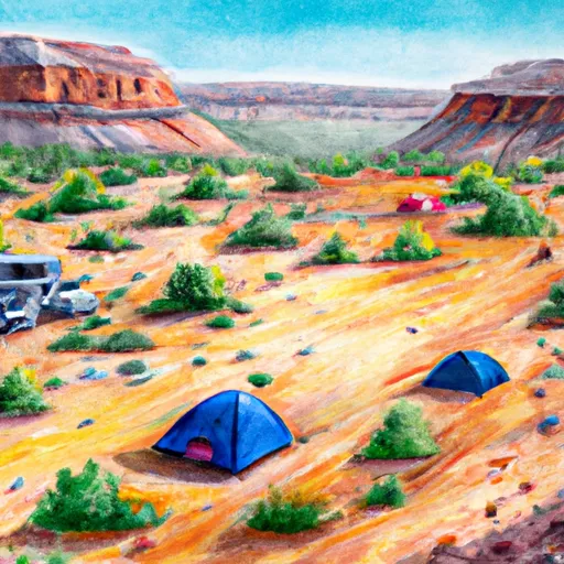
Timpooneke Camping Area is located in Utah's Uinta-Wasatch-Cache National Forest with stunning views of the Timpanogos Mountain. This area is perfect for those who enjoy outdoor activities such as hiking, fishing, wildlife watching, and scenic drives. The campground is close to Timpanogos Cave National Monument, which is a must-see attraction in the area. Other nearby points of interest include American Fork Canyon and Provo River.
The campground offers amenities such as fire rings, picnic tables, vault toilets, and potable water. It has 22 campsites with a mix of reservable and first-come, first-served sites. The campground can accommodate RVs, but there are no hookups available.
Timpooneke Camping Area is known for its beautiful wildflowers, and it's not uncommon to see moose and other wildlife roaming around the area. Interestingly, the name Timpooneke is derived from a Native American word meaning "rocky mouth of the canyon."
The best time to visit Timpooneke Camping Area is during the summer months, from June to August. The average temperature during this time is around 70°F during the day and 40°F at night, making it the ideal time for outdoor activities. However, it's important to note that the campground may experience heavy snowfall during the winter months, making it inaccessible.