Summary
Nearby attractions include the historic Apache Trail, the Tonto National Monument, and the Superstition Mountains. The campground is first-come-first-serve, with 14 campsites available. Amenities include restrooms and picnic tables, but no running water or electricity. The best time to visit is between October and April, with average temperatures ranging from 60-70 degrees Fahrenheit during the day and dropping to 30-40 degrees at night. Visitors should bring their own water and firewood and be prepared for primitive camping conditions.
°F
°F
mph
Wind
%
Humidity
15-Day Weather Outlook
Nearby Campgrounds
5-Day Hourly Forecast Detail
Nearby Streamflow Levels
Camping Essential Practices
Take all trash, food scraps, and gear back with you to keep campsites clean and protect wildlife.
Respect Wildlife
Observe animals from a distance, store food securely, and never feed wildlife to maintain natural behavior and safety.
Know Before You Go
Check weather, fire restrictions, trail conditions, and permit requirements to ensure a safe and well-planned trip.
Minimize Campfire Impact
Use established fire rings, keep fires small, fully extinguish them, or opt for a camp stove when fires are restricted.
Leave What You Find
Preserve natural and cultural features by avoiding removal of plants, rocks, artifacts, or other elements of the environment.
Related Links
Nearby Snowpack Depths
|
WORKMAN CREEK
|
2" |
|
FOUNTAIN HILLS 1.2 NNE
|
0" |
|
PROMONTORY
|
1" |
|
HEBER
|
0" |
|
NOHRSC BAKER BUTTE SMT
|
1" |
|
BAKER BUTTE SMT
|
0" |

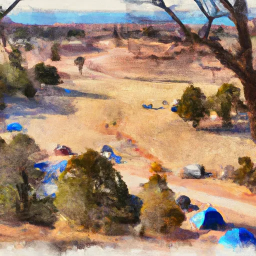 Lower Burnt Corral Dispersed
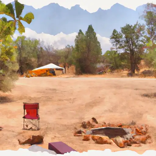 Burnt Corral
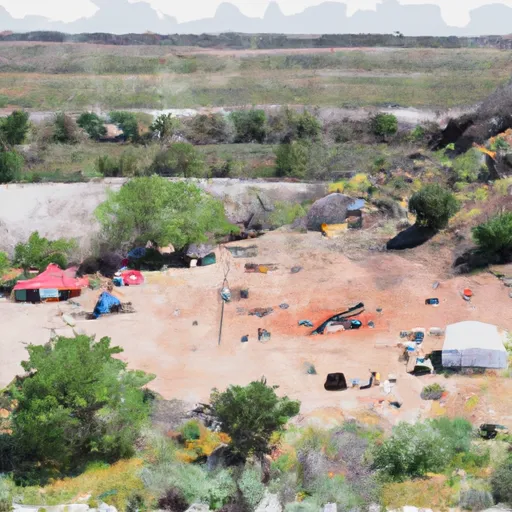 Burnt Corral Campground and Day Use Area
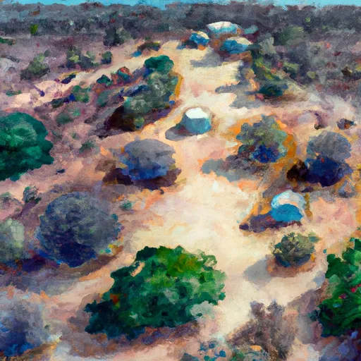 Upper Burnt Corral
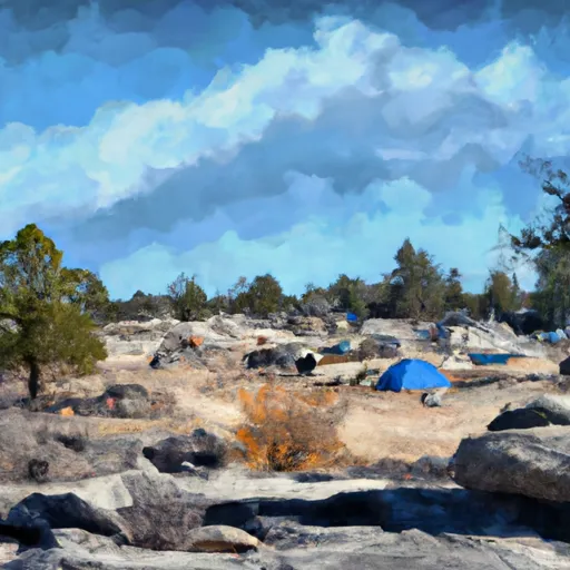 Upper Burnt Corral Dispersed
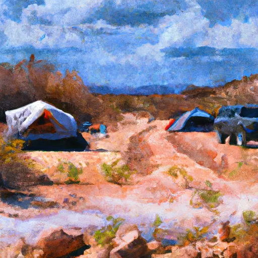 Davis Wash Dispersed
