RAFTER TAKE-OUT PARKING

Put Ins Take Outs Weather


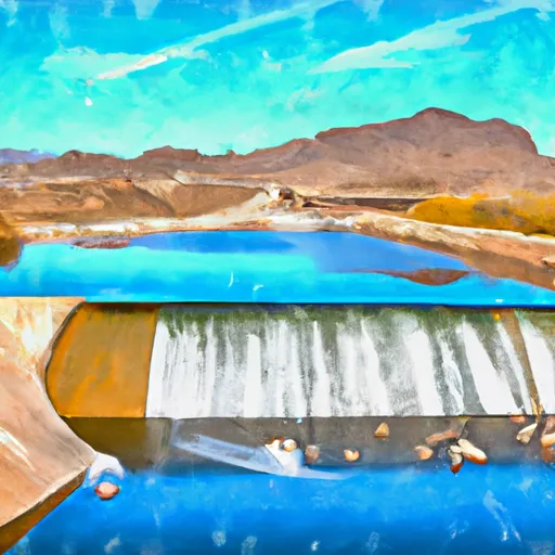
According to the latest information available, the Rafter Take-Out Parking boat ramp is located in Arizona and is primarily used for rafting. It is not a public boat ramp but a private one that is primarily used by commercial rafting companies. The ramp is approximately 12 feet wide and has a gravel surface.

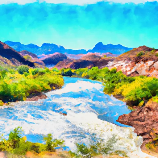
The Rafter Take-Out Parking boat ramp services the Salt River, which is a popular destination for rafting in Arizona. The Salt River is a tributary of the Gila River and flows through the Tonto National Forest. The river is known for its scenic beauty and challenging rapids, making it a popular destination for white water rafting.

As far as the type of craft that are permitted on the water, only rafts, kayaks, and other non-motorized watercraft are allowed. Motorized boats are not allowed on this section of the river. It is important to note that the rules and regulations regarding watercraft on the Salt River and other waterways in Arizona may change from time to time, so it is always important to check the latest information with local authorities before planning any water activities.

Air Quality Alert
Until 2024-07-26T21:00:00-07:00 National Weather Service
AQAPSR The Arizona Department of Environmental Quality (ADEQ) has extended an Ozone High Pollution Advisory for the Phoenix Metro Area through Friday. This means that forecast weather conditions combined with existing ozone levels are expected to result in local maximum 8-hour ozone concentrations that pose a health risk. Adverse health effects increase as air quality deteriorates. Ozone is an air contaminant which can cause breathing difficulties for children, older adults, as well as persons with respiratory problems. A decrease in physical activity is recommended. You are urged to car pool, telecommute or use mass transit. The use of gasoline-powered equipment should be reduced or done late in the day. For details on this High Pollution Advisory, visit the ADEQ internet site at www.azdeq.gov/forecast/phoenix or call 602-771-2300.

July 26, 2024

°F

°F

mph

Windspeed

%

Humidity

Regional Streamflow

1

Cubic Feet Per Second

80

Cubic Feet Per Second

121

Cubic Feet Per Second

0

Cubic Feet Per Second

Explore the Interactive Map

View recreational hotspots like fishing, camping, and parks, alongside climate-related data such as river levels, snowpack, and weather forecasts. Enjoy 3D mapping for an immersive experience, and switch to satellite view for a detailed look at your favorite spots. Simply click, explore, and discover nature like never before!

5-Day Weather Forecast

16-Day Weather Forecast

Nearby Camping & Amenities

Camping Area Campsites Reservations Toilets Showers Elevation
Estrella Mountain Regional Park 7 913 ft
Regional Park - Usery Mt RA 73 1,991 ft
Sulphide Del Ray 10 6,009 ft
Pinal 14 7,544 ft
Lost Dutchman State Park 70 2,068 ft
Picacho Peak State Park 85 1,868 ft
Catalina State Park 120 2,650 ft
Oak Flat 16 3,942 ft
Davis Wash 30 1,972 ft
Usery Mountain 73 1,988 ft

Explore Nearby Places

Verde River Access Area


The Verde River Access Area, located in the state of Arizona, offers visitors a unique and picturesque experience. Situated along the Verde River, this area provides various recreational activities, stunning natural beauty, and a rich cultural history. One of the primary reasons to visit the Verde River Access Area is the abundance of outdoor activities it offers. Visitors can enjoy kayaking, canoeing, fishing, and swimming in the river's refreshing waters. The area also provides opportunities for hiking, biking, and horseback riding along its scenic trails, allowing for an immersive exploration of the surrounding landscape. Several points of interest make the ...