Summary
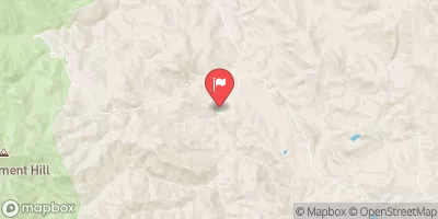
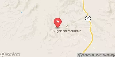
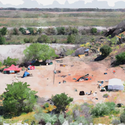
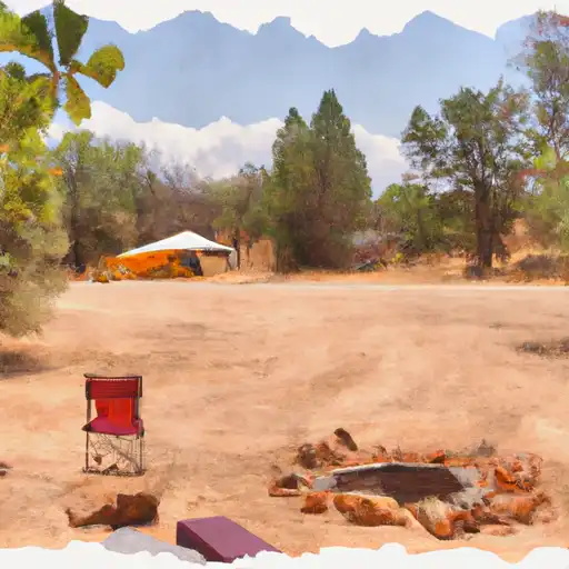
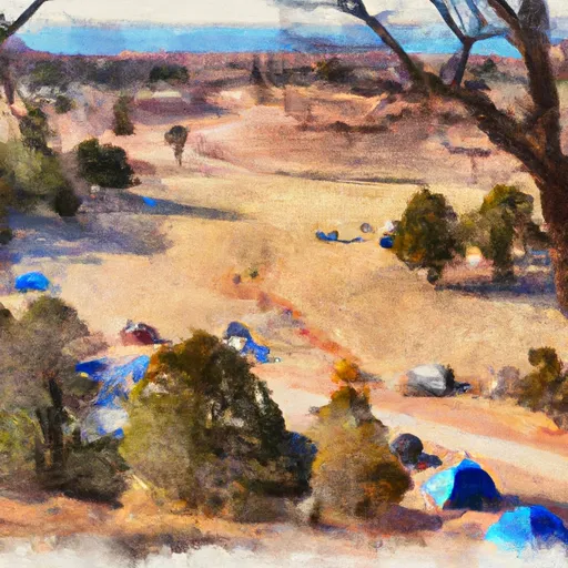
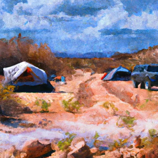
The campground provides a picturesque view of the Salt River, which runs right by the area. The camping area is surrounded by stunning views of canyons and hills, making it a perfect destination for nature lovers.
There are many nearby points of interest that visitors can explore, such as the nearby Coon Bluff Recreation Site, where one can enjoy hiking or fishing. The Salt River is also a popular spot for swimming, kayaking and tubing, while the Tonto National Monument and the Four Peaks Wilderness Area are nearby attractions worth exploring.
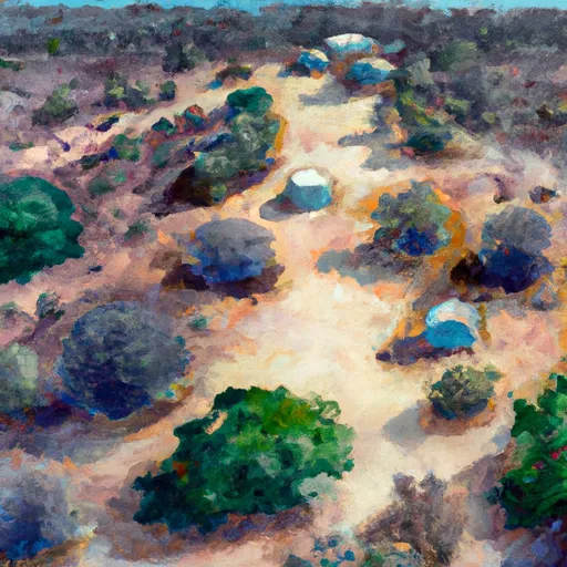
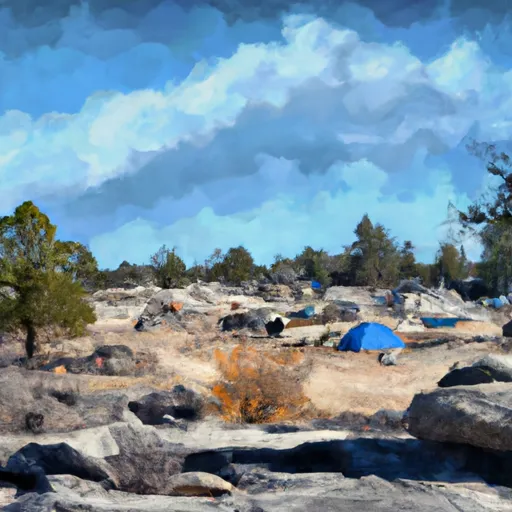
The campground itself offers facilities such as picnic tables, fire pits, drinking water, and toilets, making it an ideal spot for car camping. There are 15 campsites in total, all of which are first-come-first-serve, so it’s best to arrive early to secure a spot.
An interesting fact about the area is that it is home to the Salt River horse herd, which consists of over 500 wild horses. Visitors can often see these horses wandering around the area, making for a unique and memorable experience.
The best time of year to visit Upper Burnt Corral is from October to April when temperatures average around 60-70°F during the day and 30-40°F at night. This makes for perfect camping weather, as the days are comfortable, and the nights are cool enough to enjoy a campfire. Overall, Upper Burnt Corral is a fantastic spot for camping, offering stunning views, nearby attractions, and a unique experience with the Salt River horse herd.
°F
°F
mph
Wind
%
Humidity
15-Day Weather Outlook
Nearby Campgrounds
5-Day Hourly Forecast Detail
Nearby Streamflow Levels
Camping Essential Practices
Take all trash, food scraps, and gear back with you to keep campsites clean and protect wildlife.
Respect Wildlife
Observe animals from a distance, store food securely, and never feed wildlife to maintain natural behavior and safety.
Know Before You Go
Check weather, fire restrictions, trail conditions, and permit requirements to ensure a safe and well-planned trip.
Minimize Campfire Impact
Use established fire rings, keep fires small, fully extinguish them, or opt for a camp stove when fires are restricted.
Leave What You Find
Preserve natural and cultural features by avoiding removal of plants, rocks, artifacts, or other elements of the environment.
Related Links
Nearby Snowpack Depths
|
WORKMAN CREEK
|
2" |
|
FOUNTAIN HILLS 1.2 NNE
|
0" |
|
PROMONTORY
|
1" |
|
HEBER
|
0" |
|
NOHRSC BAKER BUTTE SMT
|
1" |
|
BAKER BUTTE SMT
|
0" |

 Upper Burnt Corral
 Upper Burnt Corral Dispersed
 Burnt Corral Campground and Day Use Area
 Burnt Corral
 Lower Burnt Corral Dispersed
 Davis Wash Dispersed
