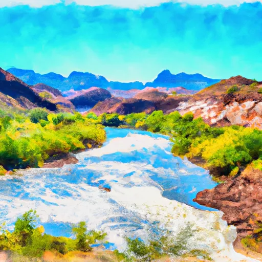
LAGUNA BOAT RAMP

Put Ins Take Outs Weather


The Laguna Boat Ramp in Arizona is located at latitude 33.53373337 and longitude -111.41690063. It is a concrete boat ramp that provides easy access to the Saguaro Lake, which is a popular destination for boaters and anglers in the area. The ramp is approximately 2 lanes wide, making it suitable for most boat sizes.

The Laguna Boat Ramp is part of the Tonto National Forest, which manages the area around the lake. The body of water it services is the Saguaro Lake, which is a 1,200-acre reservoir located on the Salt River. The lake is surrounded by scenic mountains and is a popular spot for fishing, boating, and other water activities.

The kind of craft permitted on the water at Saguaro Lake includes fishing boats, pleasure boats, canoes, kayaks, and paddleboards. However, motorized boats are restricted to a maximum speed of 25 miles per hour on the lake.

Overall, the Laguna Boat Ramp is a well-maintained and accessible boat ramp that provides easy access to the scenic Saguaro Lake. Boaters and anglers alike can take advantage of the lake's calm waters and beautiful views, making it a popular destination in the area.

Air Quality Alert
Until 2024-07-26T21:00:00-07:00 National Weather Service
AQAPSR The Arizona Department of Environmental Quality (ADEQ) has extended an Ozone High Pollution Advisory for the Phoenix Metro Area through Friday. This means that forecast weather conditions combined with existing ozone levels are expected to result in local maximum 8-hour ozone concentrations that pose a health risk. Adverse health effects increase as air quality deteriorates. Ozone is an air contaminant which can cause breathing difficulties for children, older adults, as well as persons with respiratory problems. A decrease in physical activity is recommended. You are urged to car pool, telecommute or use mass transit. The use of gasoline-powered equipment should be reduced or done late in the day. For details on this High Pollution Advisory, visit the ADEQ internet site at www.azdeq.gov/forecast/phoenix or call 602-771-2300.

July 26, 2024

°F

°F

mph

Windspeed

%

Humidity

Regional Streamflow

588

Cubic Feet Per Second

1

Cubic Feet Per Second

80

Cubic Feet Per Second

121

Cubic Feet Per Second

Explore the Interactive Map

View recreational hotspots like fishing, camping, and parks, alongside climate-related data such as river levels, snowpack, and weather forecasts. Enjoy 3D mapping for an immersive experience, and switch to satellite view for a detailed look at your favorite spots. Simply click, explore, and discover nature like never before!

5-Day Weather Forecast

16-Day Weather Forecast

Nearby Camping & Amenities

Camping Area Campsites Reservations Toilets Showers Elevation
Rose Canyon 74 7,034 ft
Spencer Canyon 60 7,858 ft
Pinal 14 7,544 ft
Peppersauce 17 4,602 ft
Picacho Peak State Park 85 1,868 ft
Oak Flat 16 3,942 ft
Molino Basin 37 4,338 ft
Catalina State Park 120 2,650 ft
Pioneer Pass 20 5,835 ft
General Hitchcock 11 5,971 ft

Explore Nearby Places

Wilderness Fossil Springs


Wilderness Fossil Springs, located in the state of Arizona, offers visitors a unique and captivating experience. Here is a summary of the reasons to visit, specific points of interest, interesting facts, and the best time of year to plan your visit: Reasons to Visit: 1. Scenic Beauty: Wilderness Fossil Springs boasts breathtaking landscapes with crystal-clear turquoise waters, lush greenery, and stunning waterfalls. The area's natural beauty provides a serene and picturesque environment for outdoor enthusiasts. 2. Hiking and Backpacking: The region offers various hiking trails suitable for all skill levels. Visitors can explore the trails that lead to Fossil Springs ...