Summary
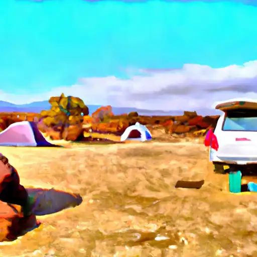
The campground provides basic amenities such as picnic tables, fire rings, and vault toilets, but it is important to note that there is no drinking water available on-site. It is advisable to bring your own water supply for the duration of your stay.
Reservations are not accepted at Indian Wells - Lava Bed National Monument camping area, as it operates on a first-come, first-served basis. Therefore, it is recommended to arrive early to secure a spot, especially during peak seasons. The best time of year to visit this camping area is during the spring or fall when the weather is mild and comfortable. Summers can be scorching hot, with temperatures reaching over 100°F (38°C), while winters can be chilly, with temperatures dropping below freezing.
While camping at Indian Wells - Lava Bed National Monument, there are several points of interest worth exploring. The monument is home to unique lava formations, caves, and cinder cones, providing opportunities for hiking, exploring, and photography. It is essential to stay on designated trails and be cautious while exploring the lava beds to avoid potential hazards and injuries. Additionally, stargazing enthusiasts will be delighted with the clear night skies, perfect for observing the stars and constellations. Overall, Indian Wells - Lava Bed National Monument camping area offers a rugged and captivating camping experience in the beautiful volcanic landscapes of California.
°F
°F
mph
Wind
%
Humidity
15-Day Weather Outlook
Nearby Campgrounds
5-Day Hourly Forecast Detail
Nearby Streamflow Levels
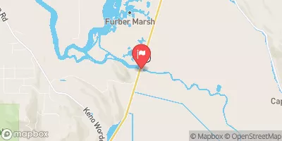 Klamath Straits Drain Near Worden
|
128cfs |
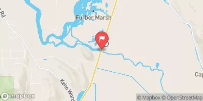 Ady Canal At Highway 97
|
6cfs |
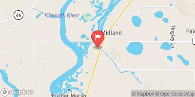 North Canal At Highway 97
|
2cfs |
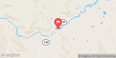 Pit R Nr Canby Ca
|
150cfs |
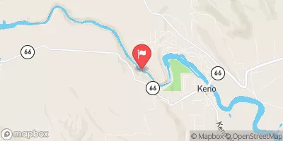 Klamath River At Keno
|
3360cfs |
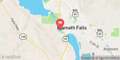 Link River At Klamath Falls
|
2830cfs |
Camping Essential Practices
Take all trash, food scraps, and gear back with you to keep campsites clean and protect wildlife.
Respect Wildlife
Observe animals from a distance, store food securely, and never feed wildlife to maintain natural behavior and safety.
Know Before You Go
Check weather, fire restrictions, trail conditions, and permit requirements to ensure a safe and well-planned trip.
Minimize Campfire Impact
Use established fire rings, keep fires small, fully extinguish them, or opt for a camp stove when fires are restricted.
Leave What You Find
Preserve natural and cultural features by avoiding removal of plants, rocks, artifacts, or other elements of the environment.
Related Links
Nearby Snowpack Depths
|
NOHRSC ALTAMONT 0.4 WNW
|
0" |
|
KENO
|
14" |
|
KLAMATH FALLS
|
0" |
|
GERBER RESERVOIR
|
1" |
|
NOHRSC CROWDER FLAT
|
0" |
|
CROWDER FLAT
|
0" |

 Indian Wells - Lava Bed National Monument
 Indian Well
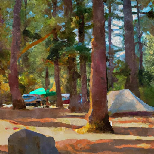 Indian Well Campground
 Medicine Lake Recreation Area
 Hemlock
 Medicine