Summary
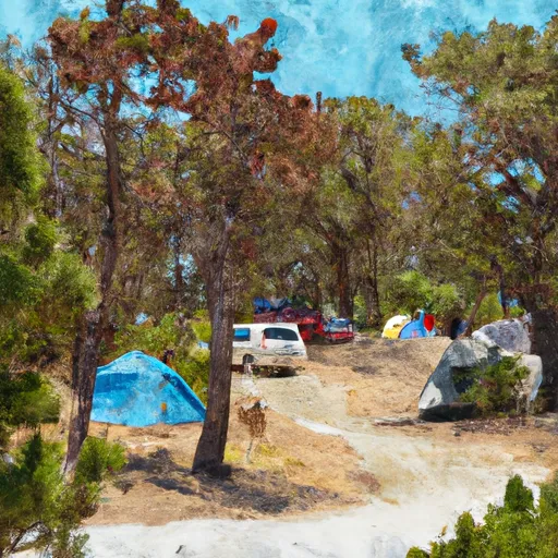
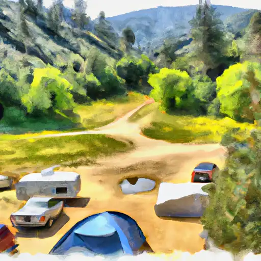
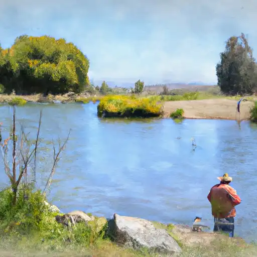
Situated in a scenic setting, this campground offers a variety of amenities for a comfortable camping experience. The campground provides picnic tables, fire rings, vault toilets, and drinking water. It is important to note that there are no electrical or sewer hookups available at Lower Chiquito Campground.
Reservations are accepted at this campground, allowing campers to secure their spot in advance. It is recommended to make a reservation, especially during peak seasons, as the campground can get busy. The best time of year to visit Lower Chiquito Campground is during the spring and fall seasons when the weather is mild and comfortable. Summers can get extremely hot, while winters can be cold and rainy.
While camping at Lower Chiquito Campground, there are several points of interest nearby. The campground is located in the beautiful Sierra National Forest and offers access to various hiking trails, fishing spots, and scenic viewpoints. Visitors should be aware of potential wildlife encounters and take necessary precautions to ensure their safety. Additionally, campers should always practice Leave No Trace principles and be mindful of fire safety regulations.
In conclusion, Lower Chiquito Campground provides a serene camping experience with amenities such as picnic tables, fire rings, vault toilets, and drinking water. Reservations are accepted, and it is recommended to visit during the spring or fall. Nearby attractions include hiking trails and fishing spots. Campers should be cautious of wildlife encounters and adhere to fire safety guidelines.
°F
°F
mph
Wind
%
Humidity
15-Day Weather Outlook
Nearby Campgrounds
| Location | Reservations |
|---|---|
 Lower Chiquito Campground
|
|
 Lower Chiquito
|
|
 Little Jackass
|
|
 Little Jackass Campground
|
|
 Placer
|
|
 Placer Campground
|
5-Day Hourly Forecast Detail
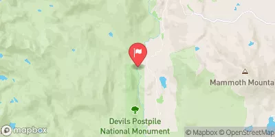
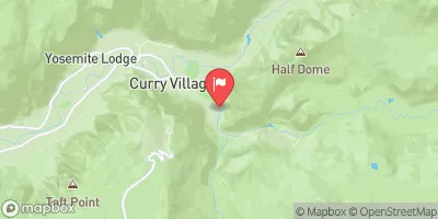
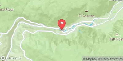
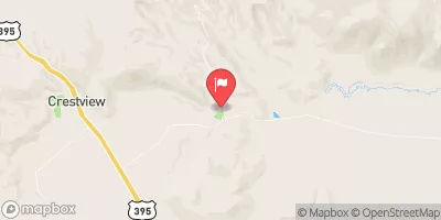
Nearby Streamflow Levels
Camping Essential Practices
Take all trash, food scraps, and gear back with you to keep campsites clean and protect wildlife.
Respect Wildlife
Observe animals from a distance, store food securely, and never feed wildlife to maintain natural behavior and safety.
Know Before You Go
Check weather, fire restrictions, trail conditions, and permit requirements to ensure a safe and well-planned trip.
Minimize Campfire Impact
Use established fire rings, keep fires small, fully extinguish them, or opt for a camp stove when fires are restricted.
Leave What You Find
Preserve natural and cultural features by avoiding removal of plants, rocks, artifacts, or other elements of the environment.
Related Links
Nearby Snowpack Depths
|
NOHRSC CHILKOOT MEADOW
|
0" |
|
NOHRSC GRAVEYARD MEADOW
|
1" |
|
NOHRSC POISON RIDGE
|
2" |
|
NOHRSC GREEN MTN
|
1" |
|
HUNTINGTON LAKE
|
1" |
|
NOHRSC KAISER POINT
|
2" |

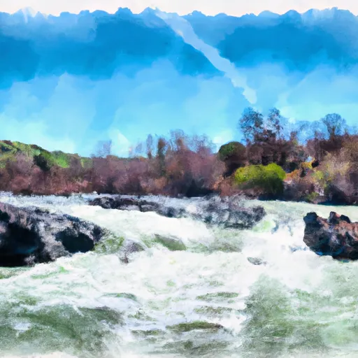 Confluence With North Fork San Joaquin River To Hells Half Acre
 Jackass Lakes
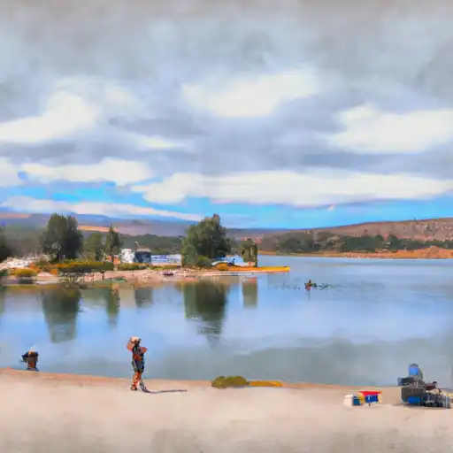 Junction Lake
 Vandeburg Lake
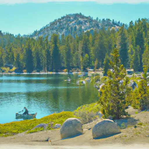 Lillian Lake
 Fish Creek