Summary
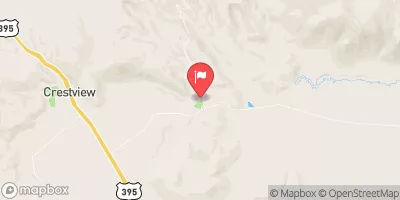
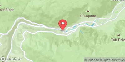
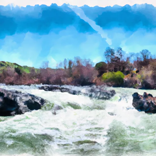
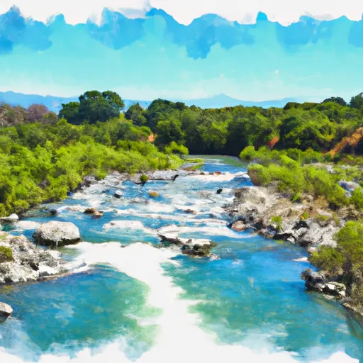
The ideal streamflow range for this run is between 500-1500 cfs, and the class rating is III-IV. This 7.6-mile segment offers challenging rapids with steep drops, technical maneuvers, and boulder-strewn channels.
There are specific rapids and obstacles on this segment that require skilled navigation and scouting, such as Devil's Staircase, which is a series of steep drops and boulder gardens, and Hells Half Acre, which is a long and technical rapid with large boulders and narrow channels. Other rapids to watch out for include Suicide Falls, Chawanakee Rapids, and Upper and Lower Lumsden Falls.
The area is managed by the U.S. Forest Service, and visitors are required to obtain a permit for overnight camping. The Forest Service also recommends that visitors have experience in whitewater rafting and kayaking and be prepared for the remote and rugged terrain. Additionally, visitors must follow all Leave No Trace principles and adhere to fire restrictions and other regulations to protect the natural environment.
Overall, the Whitewater River Run Confluence with North Fork San Joaquin River to Hells Half Acre is a thrilling adventure for experienced whitewater enthusiasts who are prepared for the technical challenges and remote wilderness setting of this segment.
°F
°F
mph
Wind
%
Humidity
15-Day Weather Outlook
River Run Details
| Last Updated | 2026-02-07 |
| River Levels | 886 cfs (5.98 ft) |
| Percent of Normal | 132% |
| Status | |
| Class Level | None |
| Elevation | ft |
| Streamflow Discharge | cfs |
| Gauge Height | ft |
| Reporting Streamgage | USGS 11224000 |
5-Day Hourly Forecast Detail
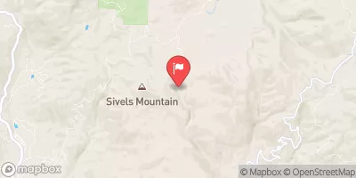
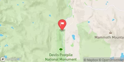
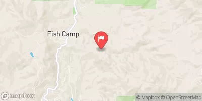
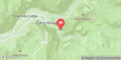
Nearby Streamflow Levels
Area Campgrounds
| Location | Reservations | Toilets |
|---|---|---|
 Little Jackass Campground
|
||
 Little Jackass
|
||
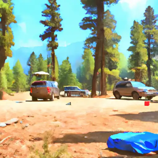 West Kaiser
|
||
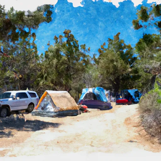 West Kaiser Campground
|
||
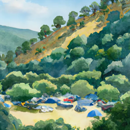 Sweetwater
|
||
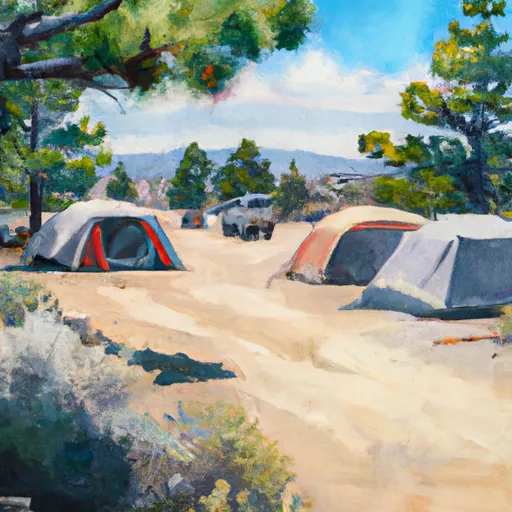 Mammoth Pool Campground
|


 Confluence With North Fork San Joaquin River To Hells Half Acre
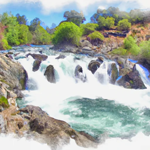 Rainbow Falls To Confluence With North Fork San Joaquin River
 Cora Creek To Confluence With San Joaquin River
 Jackass Lakes
 Fish Creek
 Vandeburg Lake
 Lillian Lake
 Rancheria Creek