Summary
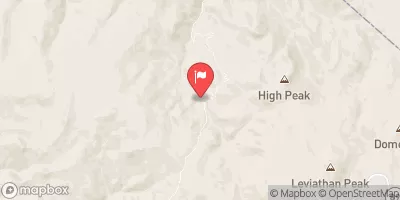
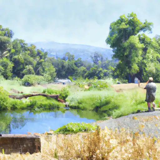
It offers a range of amenities to enhance your camping experience. The campground provides well-maintained restroom facilities, picnic tables, fire rings, and potable water for its visitors. Additionally, there are several hiking trails nearby, allowing campers to explore the stunning natural beauty of the area. It is important to note that the campground does not provide RV hookups or dump stations, so campers should come prepared for a more rustic camping experience.
Reservations are accepted at Mosquito Lake Campground, ensuring that campers can secure a spot in advance. This is particularly important during the peak season, as the campground tends to get crowded. Speaking of the best time to visit, it is recommended to plan your trip between late spring and early fall when the weather is pleasant and conducive to outdoor activities. However, it is advised to check the current weather conditions before heading out, as the region can experience sudden temperature changes and unexpected storms.
While visiting Mosquito Lake Campground, it is worth noting that mosquitoes can be quite prevalent in the area, especially during the summer months. Campers are advised to bring appropriate mosquito repellents and take necessary precautions to avoid bites. Additionally, the campground is located in bear country, so it is crucial to properly store food and dispose of trash in bear-proof containers to ensure both camper safety and wildlife conservation. Overall, Mosquito Lake Campground offers a serene and picturesque setting for campers to enjoy the outdoors and create lasting memories.
°F
°F
mph
Wind
%
Humidity
15-Day Weather Outlook
Nearby Campgrounds
5-Day Hourly Forecast Detail
Nearby Streamflow Levels
Camping Essential Practices
Take all trash, food scraps, and gear back with you to keep campsites clean and protect wildlife.
Respect Wildlife
Observe animals from a distance, store food securely, and never feed wildlife to maintain natural behavior and safety.
Know Before You Go
Check weather, fire restrictions, trail conditions, and permit requirements to ensure a safe and well-planned trip.
Minimize Campfire Impact
Use established fire rings, keep fires small, fully extinguish them, or opt for a camp stove when fires are restricted.
Leave What You Find
Preserve natural and cultural features by avoiding removal of plants, rocks, artifacts, or other elements of the environment.
Related Links
Nearby Snowpack Depths
|
NOHRSC ELSTANISLAUS MEADOW (GOES)
|
1" |
|
NOHRSC EBBETTS PASS
|
1" |
|
NOHRSC BLUE LAKES
|
0" |
|
BLUE LAKES
|
0" |
|
EBBETTS PASS
|
0" |
|
BLOODS CREEK
|
200" |

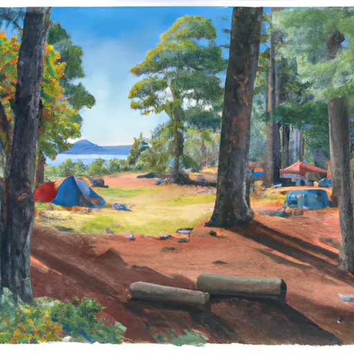 Mosquito Lake Campground
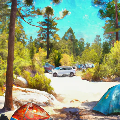 Mosquito Lakes Campground
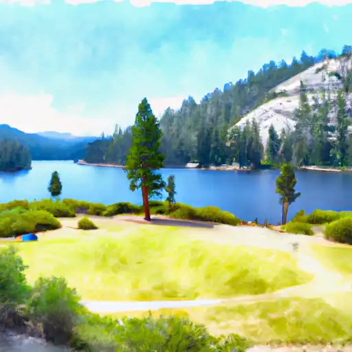 Mosquito Lakes
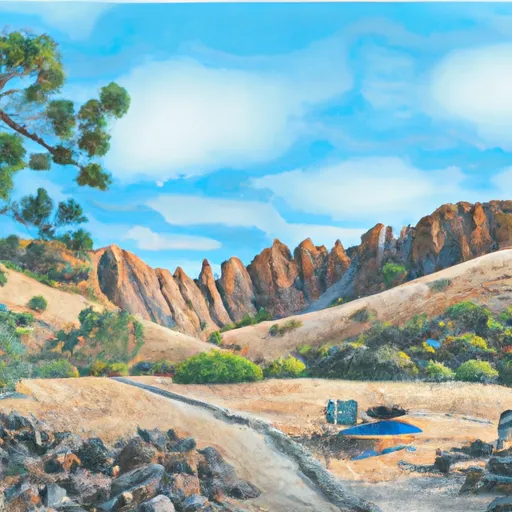 Pacific Valley
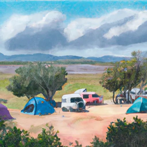 Pacific Valley Campground
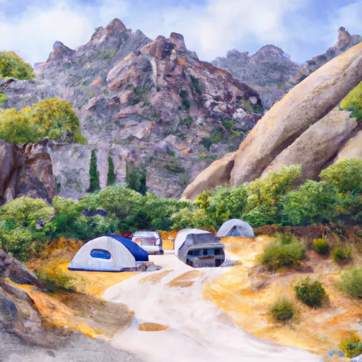 Hermit Valley Campground

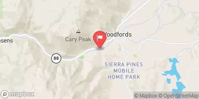
 Highway 4 To Salt Springs Reservoir
 Headwaters In Sec 2, T9N, R18E To Confluence With Mokelumne River
 Wilderness Boundary To Confluence With Middle Fork Stanislaus
 Headwaters To Wilderness Boundary
 Confluence With Clark Fork To Donnell Reservoir
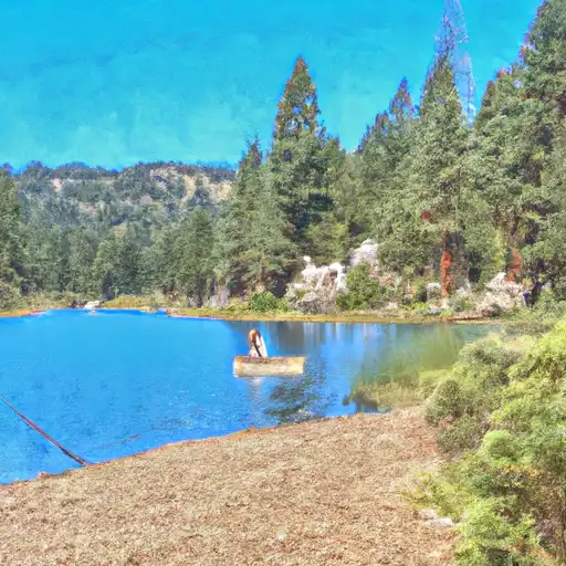 Lower Blue Lake
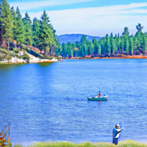 Evergreen Lake
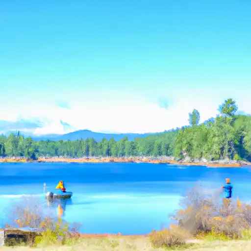 Blue Lakes
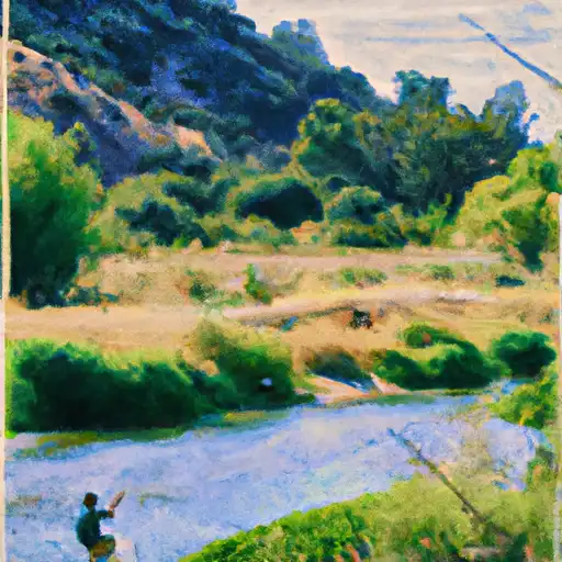 Hobart Creek
 Highland Creek