Summary
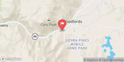
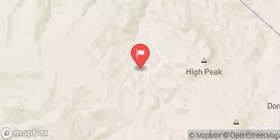
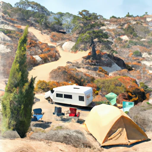
The campground boasts stunning views of the surrounding mountains, including a nearby peak called Turtle Rock. Nearby points of interest include the Grover Hot Springs State Park, which has natural hot springs and hiking trails, as well as the Carson River, which is popular for fishing and kayaking.
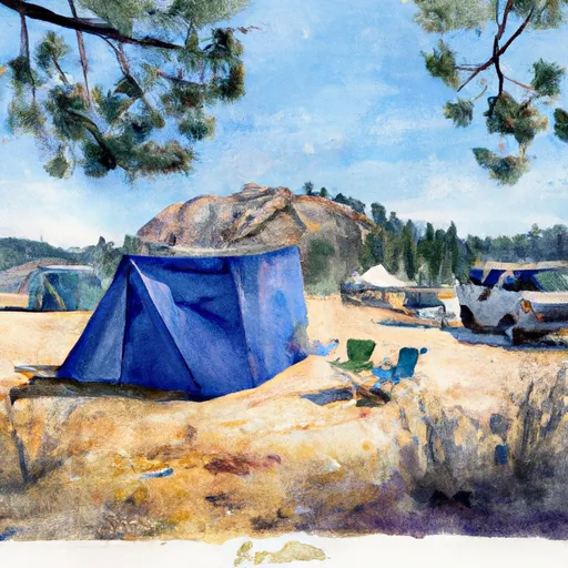
The campground offers amenities such as picnic tables, fire pits, and vault toilets. There are 30 first-come-first-serve campsites available, all of which are suitable for tent camping. An interesting fact about the area is that it was once a popular spot for gold mining during the California Gold Rush.
The best time of year to visit is during the summer months, from June to August, when temperatures average in the mid-70s during the day and drop to the mid-40s at night. It is important to note that the campground is only open from Memorial Day to Labor Day, so plan accordingly.
°F
°F
mph
Wind
%
Humidity
15-Day Weather Outlook
Nearby Campgrounds
5-Day Hourly Forecast Detail
Nearby Streamflow Levels
Camping Essential Practices
Take all trash, food scraps, and gear back with you to keep campsites clean and protect wildlife.
Respect Wildlife
Observe animals from a distance, store food securely, and never feed wildlife to maintain natural behavior and safety.
Know Before You Go
Check weather, fire restrictions, trail conditions, and permit requirements to ensure a safe and well-planned trip.
Minimize Campfire Impact
Use established fire rings, keep fires small, fully extinguish them, or opt for a camp stove when fires are restricted.
Leave What You Find
Preserve natural and cultural features by avoiding removal of plants, rocks, artifacts, or other elements of the environment.
Related Links
Nearby Snowpack Depths
|
SPRATT CREEK
|
1" |
|
NOHRSC SPRATT CREEK
|
1" |
|
BURNSIDE LAKE
|
1" |
|
NOHRSC BURNSIDE LAKE
|
1" |
|
FORESTDALE CREEK
|
0" |
|
NOHRSC FORESTDALE CREEK
|
0" |

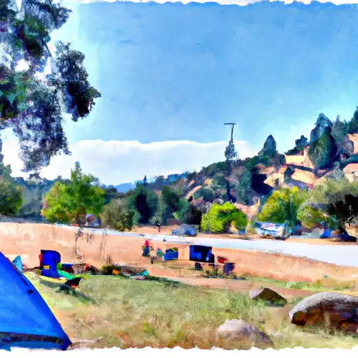 Turtle Rock Park
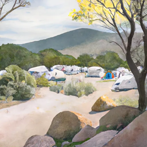 Turtle Rock Campground
 Indian Creek Camp Ground
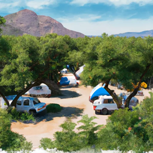 Indian Creek Campground
 Site Number10
 Site Number29

