Summary
It is a concrete boat ramp that provides access to the waters of Lake Camanche. The ramp is 30 feet wide and is able to accommodate a wide range of watercraft, including power boats, sailboats, kayaks, and canoes.
Lake Camanche is a large reservoir that covers approximately 12,000 acres and is located in Amador County. The lake is known for its excellent fishing opportunities, with species including bass, crappie, trout, and catfish.
The latest information available confirms that the Amador County boat ramp is open to the public and accessible year-round. Boaters are reminded to exercise caution when launching and retrieving their watercraft, as the ramp can become slippery and congested during peak periods. Additionally, all boaters must follow California boating regulations and be properly licensed and registered.
Nearby Boat Launches
Weather Forecast
Area Streamflow Levels
River Runs
-
 Headwaters In Sec 15,T10N, R17E To Confluence With Silver Fork Of American River
-
 Headwatersa In Sec 18, T9N, R16E To Confluence With Van Horn Creek
-
 Headwater In Sec 29, T9N,R16E To Confluence With Cat Creek
-
 Headwaters In Sec 2, T9N, R18E To Confluence With Mokelumne River
-
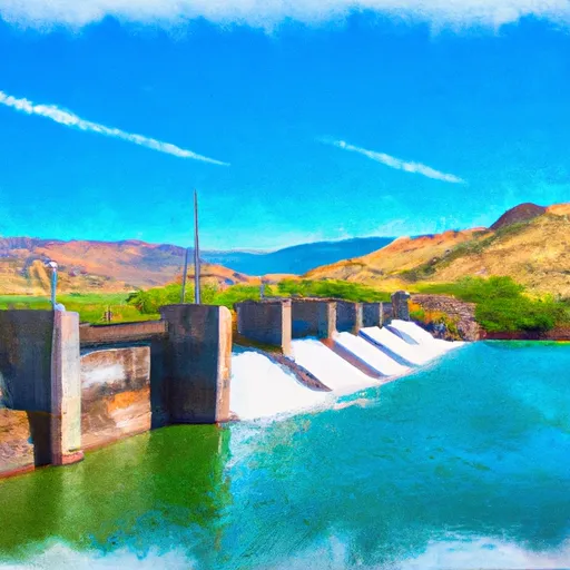 Salt Springs Reservoir Dam To To A Point 1 Mile West Of Bear River Confluence
-
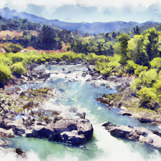 Boundary Of Mokelumne Archeologic Special Interest Area To Confluence With North Fork Mokelumne River

 Amador County
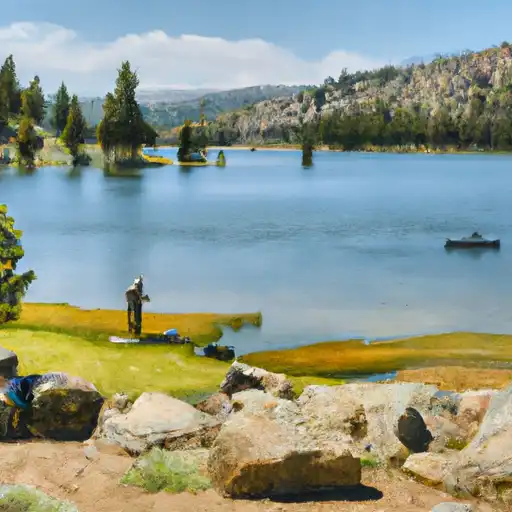 Caples Lake
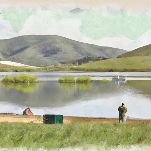 Bear River Reservoir
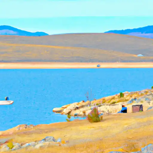 Lower Bear River Reservoir
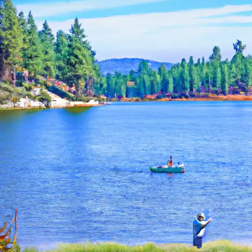 Evergreen Lake
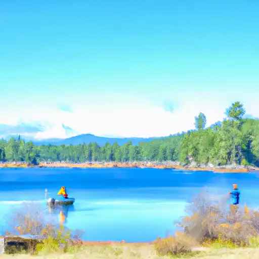 Blue Lakes