Summary
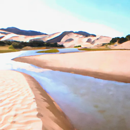
This campground is situated in the heart of the Rocky Mountains, providing visitors with stunning views of the surrounding natural landscape.
One of the main attractions of this campground is its proximity to a number of popular hiking trails, including the Continental Divide Trail and the Colorado Trail. Visitors can also take in the breathtaking scenery of the nearby Mount Elbert and the Sawatch Range.
The campground itself offers a range of amenities, including picnic tables, fire pits, and access to clean drinking water. There are also restroom facilities available for visitors.
Interesting facts about the area include that Mount Elbert is the highest peak in Colorado, and the second tallest in the contiguous United States after Mount Whitney in California. Additionally, the Sawatch Range is home to over a dozen peaks that exceed 14,000 feet in elevation.
The best time of year to visit Campsite 1.2 is typically from June through September, as the weather is generally mild and the campground is open during these months. Average temperatures during this time range from the 50s to the 70s Fahrenheit. However, visitors should always be prepared for sudden weather changes and should check weather forecasts before setting out on any hikes or explorations in the area.
Overall, Campsite 1.2 is an excellent destination for anyone seeking a peaceful and scenic camping experience in the heart of the Rocky Mountains of Colorado.
Nearby Campgrounds
| Location | Reservations |
|---|---|
 Campsite 1.2
|
|
 Campsite 1.6
|
|
 Campsite 1.8
|
|
 Campsite 0.3
|
|
 Campsite 2.2
|
|
 Campsite 3.2
|
Hourly Weather Forecast
Nearby Streamflow Levels
Camping Essential Practices
Take all trash, food scraps, and gear back with you to keep campsites clean and protect wildlife.
Respect Wildlife
Observe animals from a distance, store food securely, and never feed wildlife to maintain natural behavior and safety.
Know Before You Go
Check weather, fire restrictions, trail conditions, and permit requirements to ensure a safe and well-planned trip.
Minimize Campfire Impact
Use established fire rings, keep fires small, fully extinguish them, or opt for a camp stove when fires are restricted.
Leave What You Find
Preserve natural and cultural features by avoiding removal of plants, rocks, artifacts, or other elements of the environment.
Related Links
Nearby Snowpack Depths
|
NOHRSC MEDANO PASS
|
1" |
|
MEDANO PASS
|
0" |
|
GREAT SAND DUNES NATL MON
|
0" |
|
NOHRSC SOUTH COLONY
|
1" |
|
SOUTH COLONY
|
1" |
|
CRESTONE 5.3 SSE
|
0" |

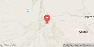
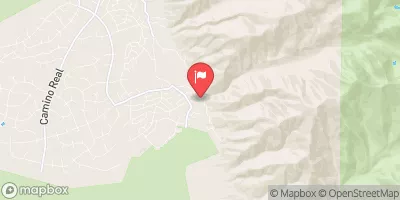
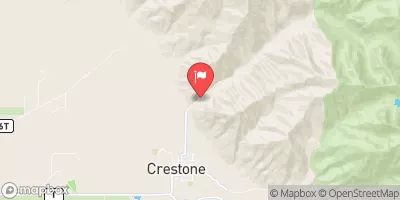
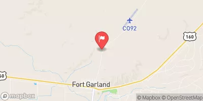
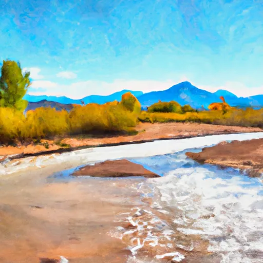 Headwaters To Confluence With Medano Creek
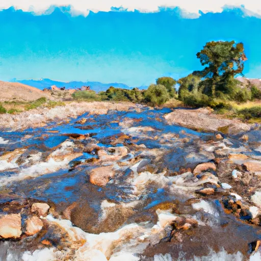 Headwaters To Confluence With Sand Creek
 Headwaters At Medano Lake To Ends On The Sand Sheet Past The Southern End Of The Dunes