Summary
The ideal streamflow range for this run is between 200-500 cfs. This run is classified as Class II-III, making it suitable for intermediate level kayakers and rafters. The segment mileage of this run is 6 miles, taking approximately 3-4 hours to complete.
One of the main obstacles in this run is the Pinball rapid, which requires careful maneuvering to avoid rocks and navigate through narrow channels. Another significant obstacle is the Diverter Dam, which requires portaging as it is not safe to run.
There are specific regulations to the area that visitors must follow. All boaters must possess a valid Colorado Parks and Wildlife watercraft permit, and all equipment must comply with state regulations. Additionally, visitors are required to pack out all trash and waste and leave the area as they found it to preserve the natural environment.
In conclusion, the Whitewater River Run at the Headwaters at Medano Lake to the ends on the Sand Sheet past the southern end of the Dunes is a thrilling adventure for intermediate level kayakers and rafters. With its Class II-III rating, 6-mile segment, and challenging obstacles, visitors must follow specific regulations to ensure a safe and enjoyable experience.
°F
°F
mph
Wind
%
Humidity
15-Day Weather Outlook
River Run Details
| Last Updated | 2025-11-02 |
| River Levels | 18 cfs (0.99 ft) |
| Percent of Normal | 151% |
| Status | |
| Class Level | ii-iii |
| Elevation | ft |
| Run Length | 18.0 Mi |
| Streamflow Discharge | cfs |
| Gauge Height | ft |
| Reporting Streamgage | USGS 08229500 |
5-Day Hourly Forecast Detail
Nearby Streamflow Levels
Area Campgrounds
| Location | Reservations | Toilets |
|---|---|---|
 Campsite 3.2
|
||
 Campsite 3.5
|
||
 Campsite 3.4
|
||
 Campsite 5.1
|
||
 Campsite 4.8
|
||
 Campsite 2.2
|


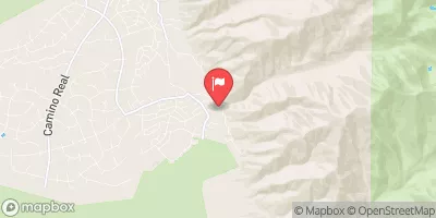
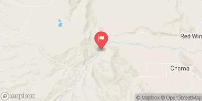
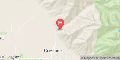
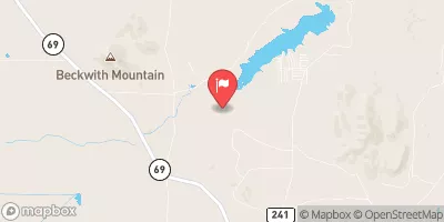
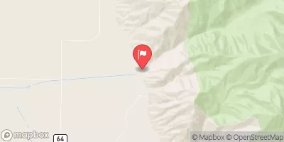
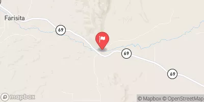
 Headwaters At Medano Lake To Ends On The Sand Sheet Past The Southern End Of The Dunes
 Headwaters To Confluence With Medano Creek
 Headwaters To Confluence With Sand Creek
 Mountain Front To Western Park Boundary