Summary
Reservations are recommended, especially in peak seasons, and there are nightly fees. The campground features 167 sites with electric and water hookups, RV access, picnic tables, fire rings, and grills. Flush toilets, showers, and drinking water are available. Scenic and wooded, the campground sits near the Kentucky River and a reconstructed 18th-century fort. Campers enjoy a peaceful, family-friendly atmosphere with hiking trails, river fishing, and seasonal fort reenactments nearby. Spring through fall is ideal for visiting, with fall foliage offering extra appeal. Reservations can be made via the Kentucky State Parks website.
°F
°F
mph
Wind
%
Humidity
15-Day Weather Outlook
5-Day Hourly Forecast Detail
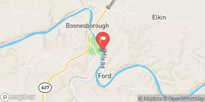
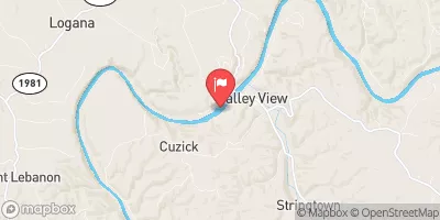
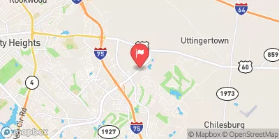
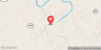
Nearby Streamflow Levels
Camping Essential Practices
Take all trash, food scraps, and gear back with you to keep campsites clean and protect wildlife.
Respect Wildlife
Observe animals from a distance, store food securely, and never feed wildlife to maintain natural behavior and safety.
Know Before You Go
Check weather, fire restrictions, trail conditions, and permit requirements to ensure a safe and well-planned trip.
Minimize Campfire Impact
Use established fire rings, keep fires small, fully extinguish them, or opt for a camp stove when fires are restricted.
Leave What You Find
Preserve natural and cultural features by avoiding removal of plants, rocks, artifacts, or other elements of the environment.
Related Links
Nearby Snowpack Depths
|
CRESSY
|
0" |
|
WATER WORKS-KENTUCKY #4
|
0" |
|
MOUNT STERLING
|
0" |
|
CLOVER BOTTOM 1 WSW
|
0" |
|
BEATTYVILLE 4N
|
0" |
|
CARLISLE 7.6 NNW
|
0" |

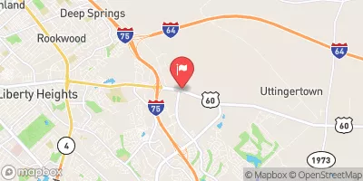
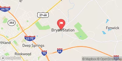
 Boone Station State Historic Site
 White Hall State Historic Site
 King Property Park
 Berry Hill Park
 Hartland Park