Summary
The campsite is situated on the shores of Wanaki Lake, offering campers breathtaking views of the water and surrounding forest. There are plenty of opportunities for outdoor recreation in the area, including hiking, fishing, and swimming. Nearby points of interest include the Lost 40, a 144-acre tract of old-growth forest, and the Edge of the Wilderness Scenic Byway.
The Wanaki Campground Loop offers a variety of amenities for campers, including picnic tables, fire rings, and vault toilets. The campground is first-come, first-served, with 16 campsites available. One interesting fact about the area is that Wanaki Lake is known for its excellent fishing, with anglers catching walleye, northern pike, bass, and panfish.
The best time of year to visit the Wanaki Campground Loop is during the summer months when temperatures are mild, and the area is perfect for outdoor recreation. The average temperature in July is 78°F, and August is 77°F. Overall, the Wanaki Campground Loop is an excellent camping destination for those looking to experience the natural beauty of Minnesota's Chippewa National Forest.
°F
°F
mph
Wind
%
Humidity
15-Day Weather Outlook
Nearby Campgrounds
5-Day Hourly Forecast Detail
Nearby Streamflow Levels
 Mississippi River Near Bemidji
|
169cfs |
 Straight River Near Park Rapids
|
46cfs |
 Mississippi River At Grand Rapids
|
452cfs |
 Prairie River Near Taconite
|
63cfs |
 Red Lake River Near Red Lake
|
385cfs |
 Crow Wing River At Nimrod
|
279cfs |
Camping Essential Practices
Take all trash, food scraps, and gear back with you to keep campsites clean and protect wildlife.
Respect Wildlife
Observe animals from a distance, store food securely, and never feed wildlife to maintain natural behavior and safety.
Know Before You Go
Check weather, fire restrictions, trail conditions, and permit requirements to ensure a safe and well-planned trip.
Minimize Campfire Impact
Use established fire rings, keep fires small, fully extinguish them, or opt for a camp stove when fires are restricted.
Leave What You Find
Preserve natural and cultural features by avoiding removal of plants, rocks, artifacts, or other elements of the environment.
Related Links
Nearby Snowpack Depths
|
CASS LAKE
|
0" |
|
BEMIDJI 7.8 ENE
|
0" |
|
LEECH LAKE DAM
|
0" |
|
NOHRSC NORTHOME
|
0" |
|
NORTHOME 8.4 ESE
|
0" |
|
PARK RAPIDS 1.0 NNE
|
0" |

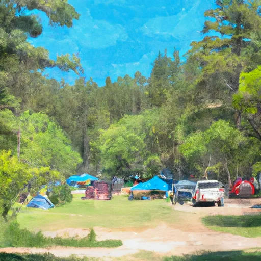 Wanaki Campground Loop
 Wanaki
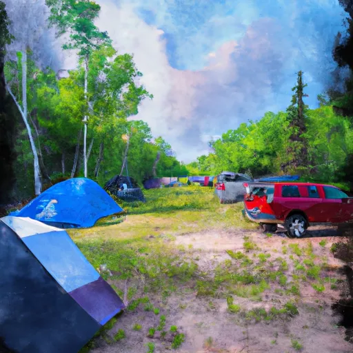 Chippewa Loop
 Norway Beach
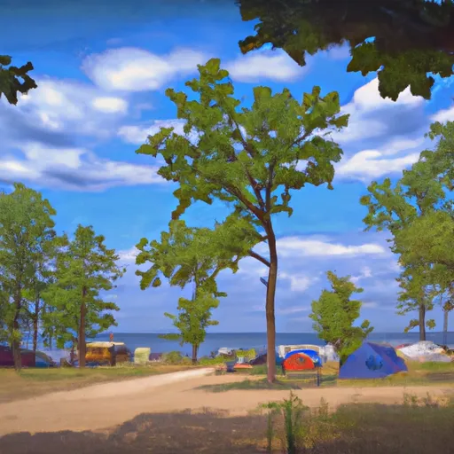 Norway Beach Campground Loop
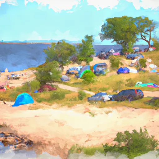 Norway Beach Recreation Area
 Migizi Trail Cass County
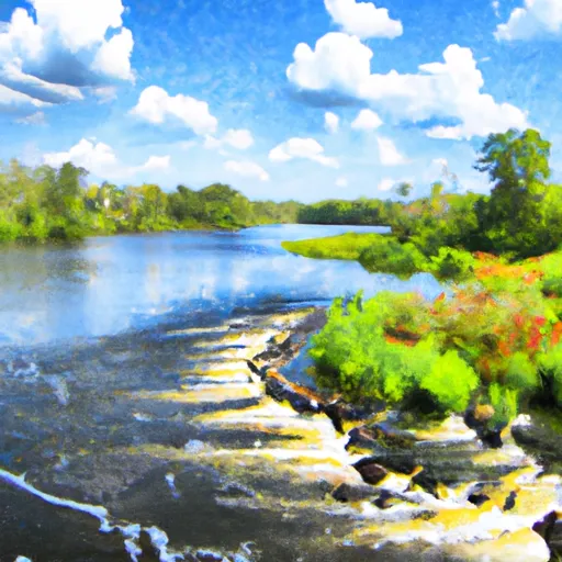 Cass Lake
To Lake Winnibigoshish
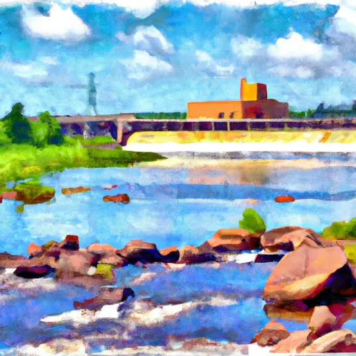 The Otter Tail Powerplant
To Allen'S Bay