Summary
It offers a range of amenities to enhance the camping experience, making it an ideal destination for outdoor enthusiasts. The campground provides campers with amenities such as water, electric hookups, and a dump station, ensuring a comfortable stay. Additionally, restrooms and shower facilities are conveniently located throughout the campground.
Reservations are accepted at Big M - Table Rock Lake camping area, allowing campers to secure their desired camping spot in advance. This is particularly beneficial during peak seasons when the campground tends to fill up quickly. It is recommended to make reservations well in advance to guarantee availability.
The best time of year to visit Big M - Table Rock Lake camping area is during the spring and fall seasons when the weather is mild and pleasant. These seasons offer ideal conditions for outdoor activities such as fishing, boating, and hiking. However, it is important to note that the campground can become crowded during holiday weekends and summer vacations, so planning accordingly is advisable.
While exploring the camping area, campers will find several points of interest. Table Rock Lake provides ample opportunities for water-based activities such as fishing and boating. The nearby Mark Twain National Forest offers scenic hiking trails, perfect for nature lovers. It is important to be cautious of wildlife in the area and to practice proper food storage to avoid any unwanted encounters with animals.
Overall, Big M - Table Rock Lake camping area in Missouri offers a range of amenities, accepts reservations, and provides an enjoyable camping experience. With its beautiful surroundings and various activities, it is a great destination for outdoor enthusiasts.
°F
°F
mph
Wind
%
Humidity
15-Day Weather Outlook
Nearby Campgrounds
5-Day Hourly Forecast Detail
Nearby Streamflow Levels
 Kings River Near Berryville
|
177cfs |
 Yocum Creek Near Oak Grove
|
11cfs |
 James River At Galena
|
310cfs |
 War Eagle Creek Near Hindsville
|
103cfs |
 Big Sugar Creek Near Powell
|
24cfs |
 Bull Creek Near Walnut Shade
|
36cfs |
Camping Essential Practices
Take all trash, food scraps, and gear back with you to keep campsites clean and protect wildlife.
Respect Wildlife
Observe animals from a distance, store food securely, and never feed wildlife to maintain natural behavior and safety.
Know Before You Go
Check weather, fire restrictions, trail conditions, and permit requirements to ensure a safe and well-planned trip.
Minimize Campfire Impact
Use established fire rings, keep fires small, fully extinguish them, or opt for a camp stove when fires are restricted.
Leave What You Find
Preserve natural and cultural features by avoiding removal of plants, rocks, artifacts, or other elements of the environment.
Related Links
Nearby Snowpack Depths
|
CASSVILLE
|
0" |
|
METALTON 3.5 W
|
0" |
|
JASPER
|
0" |
|
ASH GROVE 4S
|
0" |
|
AVA 6NW
|
0" |

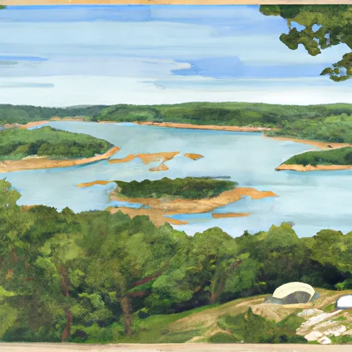 Big M - Table Rock Lake
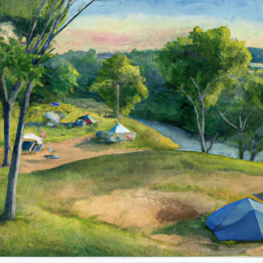 Viney Creek
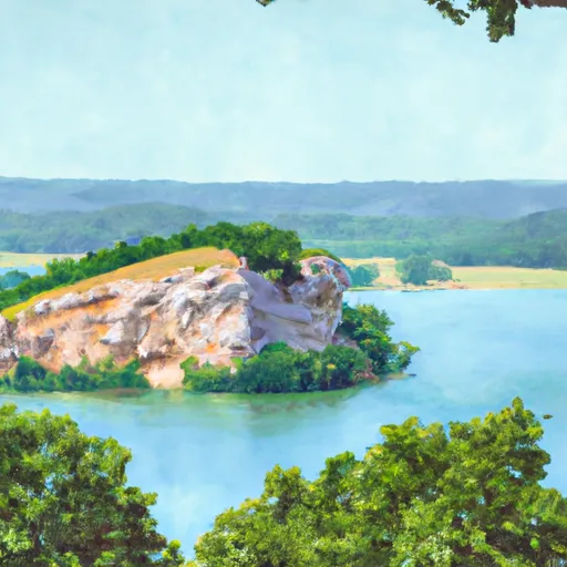 Eagle Rock - Table Rock Lake
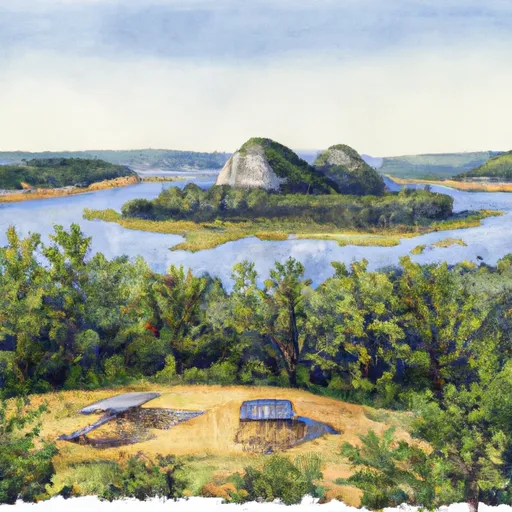 Viola - Table Rock Lake
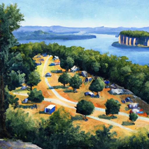 Campbell Point - Table Rock Lake
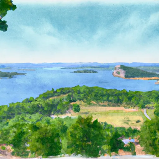 Big Bay - Table Rock Lake