Summary
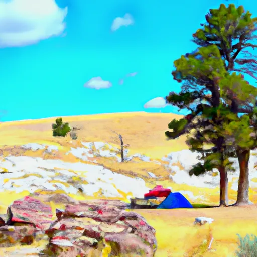
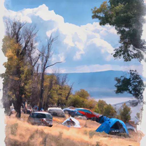
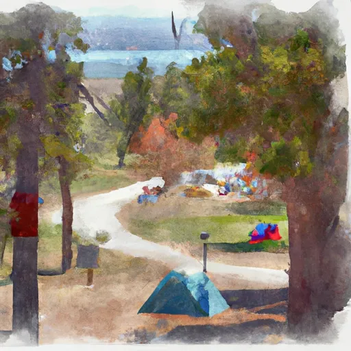
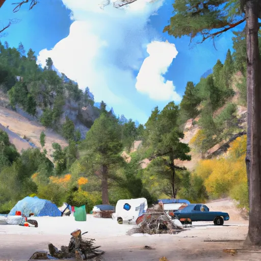
It is a popular spot for camping and outdoor activities like fishing, boating, and hiking. The area offers stunning views of the reservoir and the surrounding hills and plains.
One of the main attractions near the campground is the Fort Peck Dam, which is the largest hydraulically filled dam in the United States. Visitors can take a tour of the dam and learn about its history and engineering. Another nearby point of interest is the Charles M. Russell National Wildlife Refuge, which covers over 1.1 million acres and is home to a variety of wildlife, including elk, deer, bighorn sheep, and prairie dogs.
The campground itself offers amenities like picnic tables, fire pits, and RV hookups. There is also a boat ramp and fish cleaning station for those interested in fishing. The area is known for its walleye and northern pike fishing.
Interesting facts about the area include that Fort Peck Reservoir is the fifth largest man-made reservoir in the United States and that the area was once home to a thriving native population, including the Assiniboine and Sioux tribes.
The best time of year to visit the James Kipp Recreation Area Umrbnm Campground is during the summer months, from June to August. The average temperature during this time is around 80 degrees Fahrenheit, but temperatures can reach as high as 100 degrees. It is important to be prepared for hot weather and to bring plenty of water and sunscreen.
Sources:
- "James Kipp Recreation Area" Bureau of Land Management
- "Fort Peck Dam" U.S. Army Corps of Engineers
- "Charles M. Russell National Wildlife Refuge" U.S. Fish and Wildlife Service
°F
°F
mph
Wind
%
Humidity
15-Day Weather Outlook
Nearby Campgrounds
| Location | Reservations |
|---|---|
 James Kipp Recreation Area - UMRBNM
|
|
 James Kipp
|
|
 JAMES KIPP RECREATION AREA
|
|
 HIDEAWAY RECREATION AREA
|
5-Day Hourly Forecast Detail
Nearby Streamflow Levels
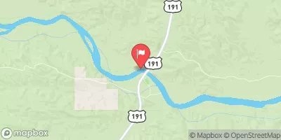 Missouri River Near Landusky Mt
|
9100cfs |
 Peoples Creek Near Hays Mt
|
4cfs |
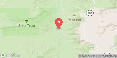 Judith River Nr Mouth
|
368cfs |
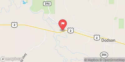 Milk River Near Dodson Mt
|
68cfs |
 Musselshell River At Mosby Mt
|
0cfs |
 Milk River Near Harlem Mt
|
69cfs |
Camping Essential Practices
Take all trash, food scraps, and gear back with you to keep campsites clean and protect wildlife.
Respect Wildlife
Observe animals from a distance, store food securely, and never feed wildlife to maintain natural behavior and safety.
Know Before You Go
Check weather, fire restrictions, trail conditions, and permit requirements to ensure a safe and well-planned trip.
Minimize Campfire Impact
Use established fire rings, keep fires small, fully extinguish them, or opt for a camp stove when fires are restricted.
Leave What You Find
Preserve natural and cultural features by avoiding removal of plants, rocks, artifacts, or other elements of the environment.
Related Links
Nearby Snowpack Depths
|
VALENTINE
|
0" |
|
GRASS RANGE
|
0" |
|
FORT BELKNAP 2 SW
|
0" |
|
ROCKY BOY
|
0" |
|
NOHRSC ROCKY BOY
|
0" |
