Summary
The campground provides basic facilities such as fire pits, picnic tables, and vault toilets. However, there is no potable water source available, so campers should bring their own or be prepared to filter water from nearby sources. The campground is also dog-friendly, allowing campers to bring along their furry friends.
Reservations are not accepted at Bi6-User Created camping area, and campsites are available on a first-come, first-served basis. This gives campers the flexibility to decide their visit without worrying about booking in advance. However, it is recommended to arrive early during peak seasons to secure a spot.
The best time to visit the Bi6-User Created camping area is during the summer and early fall months when the weather is generally pleasant. It is important to note that the area can get crowded during weekends and holidays, so planning a mid-week trip might provide a more peaceful experience.
When camping at Bi6-User Created, campers should be cautious of potential wildlife encounters, such as bears and snakes. Proper food storage and waste disposal practices are essential to minimize these risks. Additionally, campers are advised to check for any fire restrictions or alerts in the area and to practice responsible fire safety at all times.
°F
°F
mph
Wind
%
Humidity
15-Day Weather Outlook
Nearby Campgrounds
| Location | Reservations |
|---|---|
 BI6-User Created
|
|
 BI7-User Created
|
|
 BI8-User Created
|
|
 BI5A-User Created
|
|
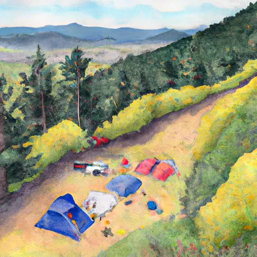 BI5-User Created
|
|
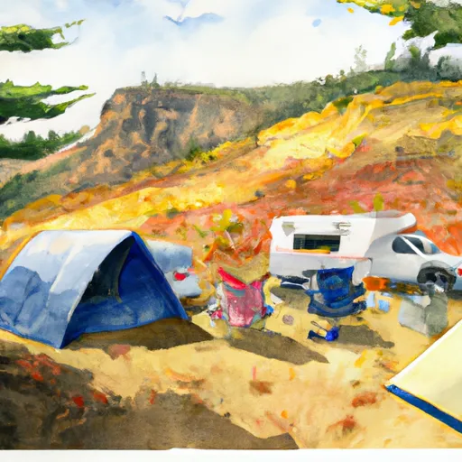 BI4-User Created
|
5-Day Hourly Forecast Detail
Nearby Streamflow Levels
Camping Essential Practices
Take all trash, food scraps, and gear back with you to keep campsites clean and protect wildlife.
Respect Wildlife
Observe animals from a distance, store food securely, and never feed wildlife to maintain natural behavior and safety.
Know Before You Go
Check weather, fire restrictions, trail conditions, and permit requirements to ensure a safe and well-planned trip.
Minimize Campfire Impact
Use established fire rings, keep fires small, fully extinguish them, or opt for a camp stove when fires are restricted.
Leave What You Find
Preserve natural and cultural features by avoiding removal of plants, rocks, artifacts, or other elements of the environment.
Related Links
Nearby Snowpack Depths
|
FISH CREEK
|
0" |
|
FISH CREEK
|
0" |
|
NOHRSC SILVIES
|
0" |
|
SILVIES
|
0" |
|
DISASTER PEAK
|
1" |
|
DISASTER PEAK
|
1" |

 Mccoy Creek