
Summary
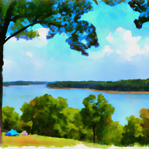
The area boasts numerous hiking trails, including the Buckhorn Lake State Resort Park, which is only a short drive away. Visitors can also enjoy water activities such as fishing, boating, and swimming at the lake, or explore nearby attractions like the Red River Gorge Geological Area.
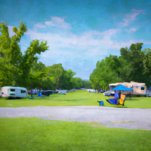
The campground offers both first-come-first-serve and reservation options with a total of 97 campsites, 71 of which have electric hookups. Additional amenities include showers, restrooms, a dump station, and a playground. Visitors can also purchase firewood and ice at the on-site camp store.
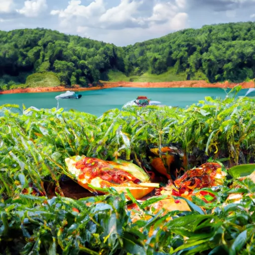
An interesting fact about the area is that Buckhorn Lake was created in the 1960s as part of a flood control project by the U.S. Army Corps of Engineers. The lake spans over 1,220 acres and is a popular spot for recreational activities.
The best time of year to visit is the spring and fall when temperatures are mild, ranging from the mid-60s to mid-70s. Summer temperatures can reach the 80s and 90s, making water activities more enjoyable but camping less comfortable. Winter temperatures can drop below freezing, making the campground less accessible.
Nearby Campgrounds
 Trace Branch - Buckhorn Lake
 Gays Creek Campground
 Buckhorn Dam Rec Area - Buckhorn Lake
 Willie Begley Memorial RV Park
Weather Forecast
Nearby Streamflow Levels
Camping Essential Practices
Take all trash, food scraps, and gear back with you to keep campsites clean and protect wildlife.
Respect Wildlife
Observe animals from a distance, store food securely, and never feed wildlife to maintain natural behavior and safety.
Know Before You Go
Check weather, fire restrictions, trail conditions, and permit requirements to ensure a safe and well-planned trip.
Minimize Campfire Impact
Use established fire rings, keep fires small, fully extinguish them, or opt for a camp stove when fires are restricted.
Leave What You Find
Preserve natural and cultural features by avoiding removal of plants, rocks, artifacts, or other elements of the environment.
Related Links
Nearby Snowpack Depths
|
CARR FORK LAKE
|
0" |
|
JACKSON
|
0" |
|
BOONEVILLE 12SW
|
0" |
|
HARLAN 3N
|
0" |
|
BEATTYVILLE 4N
|
0" |
|
WHITESBURG
|
0" |