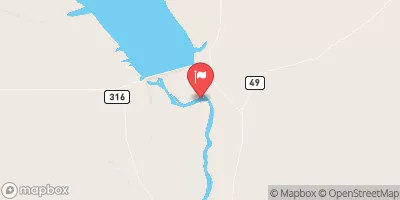
Summary
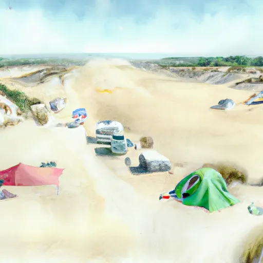
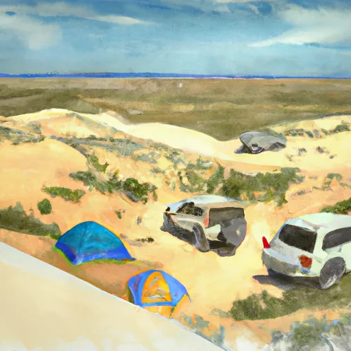
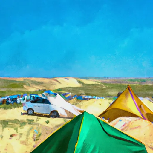
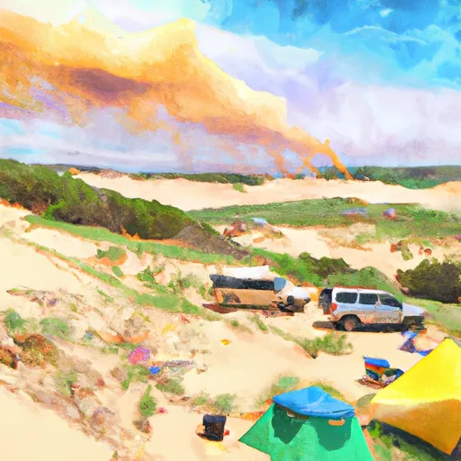
The campground is situated near the tallest sand dunes in the United States, which reach heights of up to 150 feet. Visitors can enjoy hiking, sandboarding, and ATV riding in the dunes.
In addition to the sand dunes, there are several nearby points of interest that visitors can explore. The historic town of Rock Springs is located just a short drive from the campground, and offers a variety of shops, restaurants, and museums. The Flaming Gorge National Recreation Area is also nearby, offering opportunities for fishing, boating, and hiking.
The campground includes amenities such as picnic tables, fire pits, and vault toilets. There are no electrical hookups or running water, so visitors should come prepared with their own supplies.
Interesting facts about the area include the fact that the sand dunes are made up of sand from an ancient lake that once covered the area. The dunes have been forming for thousands of years, and continue to shift and change with the wind.
The best time of year to visit the Killpecker Sand Dunes Campground is during the spring and fall months. Average temperatures during these times range from the mid-50s to mid-70s Fahrenheit. Summer temperatures can reach upwards of 90 degrees Fahrenheit, making it a less desirable time to visit. Winter temperatures can drop below freezing, making the campground inaccessible due to snow.
Sources:
- "Killpecker Sand Dunes Campground." Recreation.gov, https://www.recreation.gov/camping/campgrounds/232300.
- "Killpecker Sand Dunes." Visit Rock Springs, https://www.rockspringswyoming.net/killpecker-sand-dunes.
- "Flaming Gorge National Recreation Area." National Park Service, https://www.nps.gov/flfo/index.htm.
°F
°F
mph
Wind
%
Humidity
15-Day Weather Outlook
5-Day Hourly Forecast Detail
Nearby Streamflow Levels
Camping Essential Practices
Take all trash, food scraps, and gear back with you to keep campsites clean and protect wildlife.
Respect Wildlife
Observe animals from a distance, store food securely, and never feed wildlife to maintain natural behavior and safety.
Know Before You Go
Check weather, fire restrictions, trail conditions, and permit requirements to ensure a safe and well-planned trip.
Minimize Campfire Impact
Use established fire rings, keep fires small, fully extinguish them, or opt for a camp stove when fires are restricted.
Leave What You Find
Preserve natural and cultural features by avoiding removal of plants, rocks, artifacts, or other elements of the environment.
Related Links
Nearby Snowpack Depths
|
FARSON 2NNE - COOP
|
0" |
|
GREEN RIVER - COOP
|
0" |
|
ATLANTIC CITY - COOP
|
0" |
|
LARSEN CREEK
|
0" |
|
NOHRSC SOUTH PASS SNOTEL
|
5" |
|
NOHRSC LARSEN CREEK SNOTEL
|
0" |

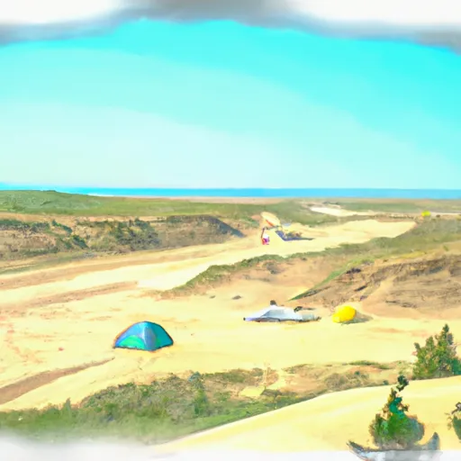 Killpecker Sand Dunes Campground
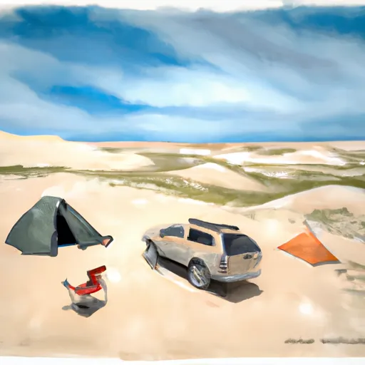 Killpecker Sand Dunes Campsite 8
 Killpecker Sand Dunes Campsite 9
 Killpecker Sand Dunes Campsite 7
 Killpecker Sand Dunes Campsite 6
 Killpecker Sand Dunes Campsite 10
