Summary
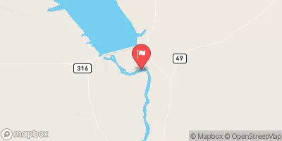
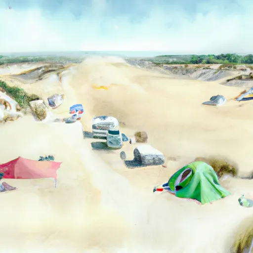
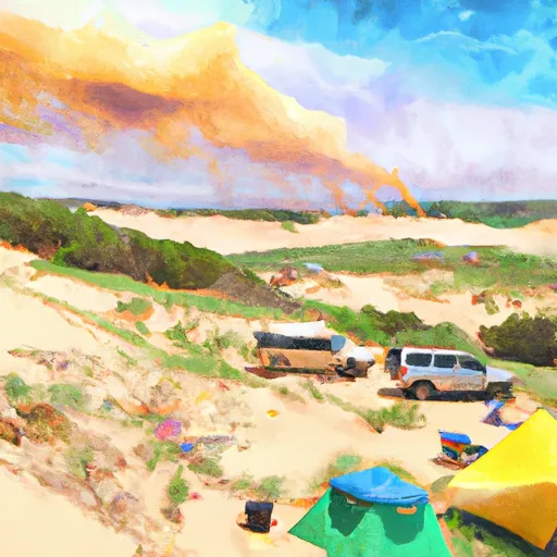
The campsite offers stunning views of the Killpecker Sand Dunes, the second-largest active sand dune field in the world. These dunes cover over 109,000 acres and reach heights of up to 150 feet.
Nearby points of interest include the Red Desert, a vast landscape of sagebrush and sandstone formations, and the Adobe Town Badlands, which are home to unique rock formations and dinosaur fossils.
The campground amenities include picnic tables, fire pits, and vault toilets. However, there is no potable water available, so visitors must bring their own.
Interesting facts about the area include that the dunes were formed over 60 million years ago and are constantly changing due to wind and weather patterns. The dunes are also home to a variety of animal species, including pronghorns, desert bighorn sheep, and coyotes.
The best time to visit Killpecker Sand Dunes Campsite 9 is in the spring or fall when temperatures are mild, averaging around 60-70 degrees Fahrenheit. Summer temperatures can reach well over 100 degrees, making it uncomfortable for camping. In the winter, the area experiences cold temperatures and snowfall, making it difficult to access the campsite.
°F
°F
mph
Wind
%
Humidity
15-Day Weather Outlook
5-Day Hourly Forecast Detail
Nearby Streamflow Levels
Camping Essential Practices
Take all trash, food scraps, and gear back with you to keep campsites clean and protect wildlife.
Respect Wildlife
Observe animals from a distance, store food securely, and never feed wildlife to maintain natural behavior and safety.
Know Before You Go
Check weather, fire restrictions, trail conditions, and permit requirements to ensure a safe and well-planned trip.
Minimize Campfire Impact
Use established fire rings, keep fires small, fully extinguish them, or opt for a camp stove when fires are restricted.
Leave What You Find
Preserve natural and cultural features by avoiding removal of plants, rocks, artifacts, or other elements of the environment.
Related Links
Nearby Snowpack Depths
|
FARSON 2NNE - COOP
|
0" |
|
GREEN RIVER - COOP
|
0" |
|
ATLANTIC CITY - COOP
|
0" |
|
LARSEN CREEK
|
0" |
|
NOHRSC SOUTH PASS SNOTEL
|
5" |
|
NOHRSC LARSEN CREEK SNOTEL
|
0" |

 Killpecker Sand Dunes Campsite 9
 Killpecker Sand Dunes Campsite 10
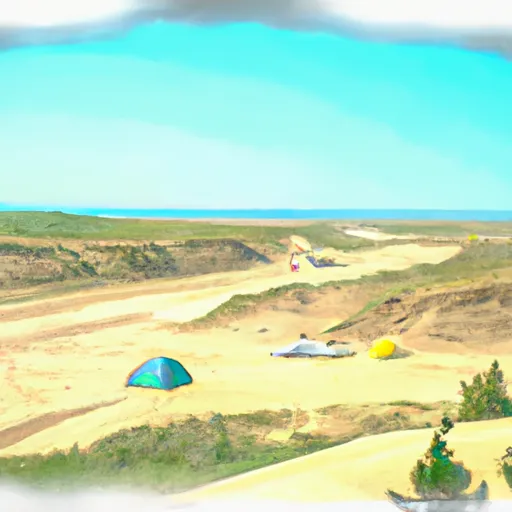 Killpecker Sand Dunes Campground
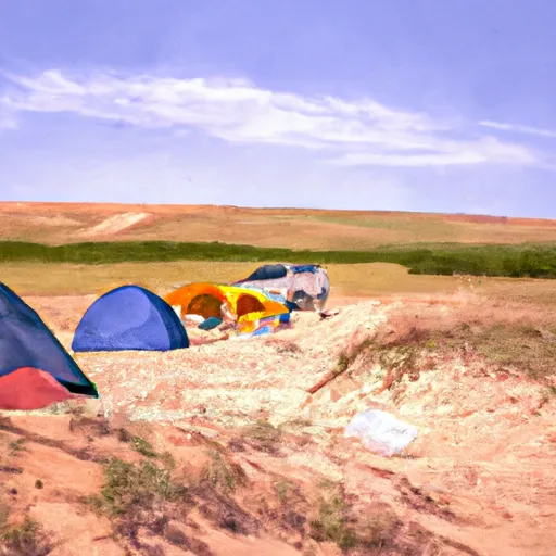 Killpecker Sand Dunes Campsite 3
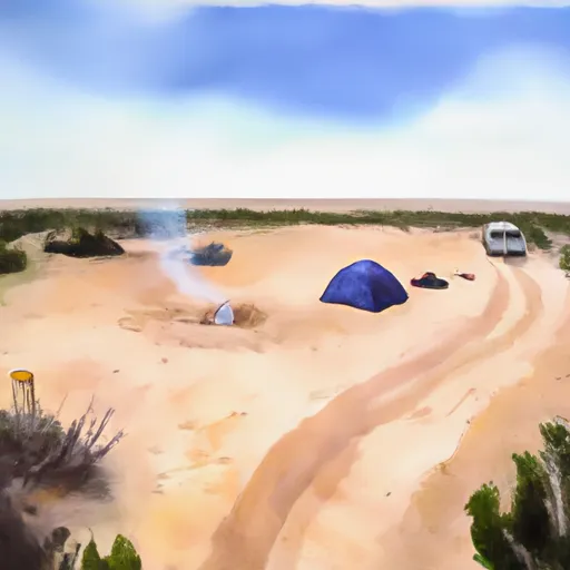 Killpecker Sand Dunes Campsite 2
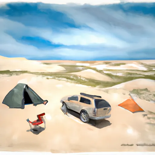 Killpecker Sand Dunes Campsite 8
