°F
°F
mph
Windspeed
%
Humidity


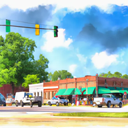
Mathiston, Mississippi is a small town located in Webster County, in the northeastern part of the state. It has a humid subtropical climate characterized by hot, humid summers and mild, moderately wet winters. The average high temperature in Mathiston during the summer months ranges from the upper 80s to low 90s Fahrenheit, while winter temperatures typically range from the mid-40s to mid-50s.
Hydrologically, Mathiston is situated near several small creeks and streams that flow through the area, including Bear Creek and Tubbalubba Creek. These waterways contribute to the town's overall hydrology and provide opportunities for fishing, boating, and other water-based activities.
Despite its small size, Mathiston offers several outdoor recreation opportunities. The town is surrounded by natural beauty, with nearby parks and forests providing opportunities for hiking, camping, and wildlife observation. Mathiston Lake, located just south of the town, is a popular spot for fishing and boating. Additionally, residents and visitors can enjoy recreational activities such as picnicking and sports at the local Mathiston City Park. Overall, Mathiston, Mississippi is a charming town that offers a range of outdoor activities for nature enthusiasts to enjoy.
Weather Forecast
Mathiston receives approximately 1428mm of rain per year, with humidity levels near 87% and air temperatures averaging around 17°C. Mathiston has a plant hardyness factor of 8, meaning plants and agriculture in this region tend to thrive here all year round.
Regional Streamflow Levels
960
Cubic Feet Per Second
2,950
Cubic Feet Per Second
164
Cubic Feet Per Second
70
Cubic Feet Per Second
Nearby Camping
| Camping Area | Reservations | Toilets | Showers |
|---|---|---|---|
| Airey Lake | |||
| Moodys Landing | |||
| Keesler AFB Military | |||
| Cypress Creek Landing | |||
| Paul B Johnson State Park | |||
| Big Biloxi Rec Area |


