Mc-Call

Climate Recreation Community Catastrophe

Mc-Call
Eden Index

Climate 7.3 Recreation 4.9 Community 1.8 Safeguard

5.1/10

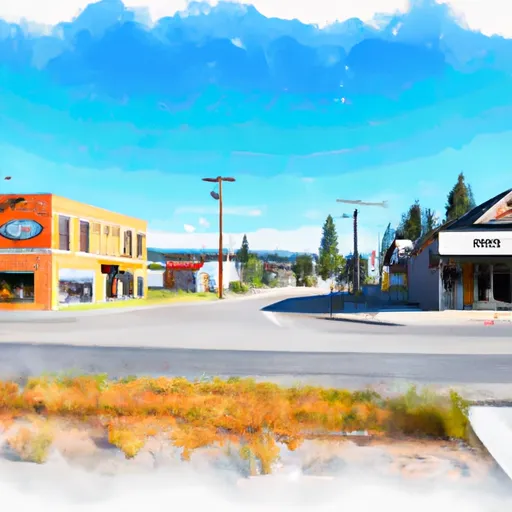
McCall, Idaho is a charming mountain town nestled in the heart of the Payette National Forest. Known for its stunning natural beauty and abundant recreational opportunities, McCall attracts nature enthusiasts and outdoor adventurers year-round.

McCall experiences a subarctic climate characterized by cold winters and mild summers. Winter temperatures range from 10°F to 30°F (-12°C to -1°C), and summer temperatures vary between 70°F and 85°F (21°C to 29°C). The area receives plentiful snowfall, making it a haven for winter sports enthusiasts.

Hydrologically, McCall is surrounded by several lakes, including the pristine Payette Lake, which covers over 5,300 acres. The lake's crystal-clear waters are fed by several small creeks and streams, providing a habitat for various aquatic species. The Payette River also flows nearby, offering opportunities for fishing, kayaking, and whitewater rafting.

Outdoor recreation options in McCall are abundant. In winter, visitors can enjoy skiing, snowboarding, snowmobiling, and snowshoeing at nearby Brundage Mountain Resort or Tamarack Resort. During summer, activities like hiking, mountain biking, boating, paddleboarding, and fishing are popular. McCall is also home to the McCall Golf Club, featuring a picturesque 27-hole course.

Overall, McCall, Idaho is a haven for outdoor enthusiasts, offering a diverse range of recreational activities in a stunning natural setting.

What is the Eden Index?

The Snoflo Eden Index serves as a comprehensive rating system for regions, evaluating their desirability through a holistic assessment of climate health, outdoor recreation opportunities, and natural disaster risk, acknowledging the profound impact of these factors on livability and well-being.


Climate Health Indicator (CHI): 7.3


Mc-Call receives approximately 700mm of rain per year, with humidity levels near 68% and air temperatures averaging around 5°C. Mc-Call has a plant hardyness factor of 5, meaning plants and agriculture in this region thrive during a short period during spring and early summer. Most plants will die off during the colder winter months. By considering the ideal temperature range, reliable water supplies, clean air, and stable seasonal rain or snowpacks, the Climate Health Indicator (CHI) underscores the significance of a healthy climate as the foundation for quality living.

A healthy climate is paramount for ensuring a high quality of life and livability in a region, fostering both physical well-being and environmental harmony. This can be characterized by ideal temperatures, reliable access to water supplies, clean air, and consistent seasonal rain or snowpacks.


Weather Forecast


Streamflow Conditions

Middle Snake-Boise

Area Rivers

Middle Snake-Boise


Snowpack Depths

Middle Snake-Boise


Reservoir Storage Capacity

Middle Snake-Boise


Groundwater Levels


Recreational Opportunity Index (ROI): 4.9


The Recreational Opportunity Index (ROI) recognizes the value of outdoor recreational options, such as parks, hiking trails, camping sites, and fishing spots, while acknowledging that climate plays a pivotal role in ensuring the comfort and consistency of these experiences. Access to outdoor recreational opportunities, encompassing activities such as parks, hiking, camping, and fishing, is crucial for overall well-being, and the climate plays a pivotal role in enabling and enhancing these experiences, ensuring that individuals can engage in nature-based activities comfortably and consistently.


Camping Areas

Campground Campsites Reservations Toilets Showers Elevation
Hazard Lake 24 7,063 ft
Jeanette 5 6,189 ft
Last Chance 35 4,665 ft
Kennally Creek 17 5,656 ft
Horsethief Reservoir State Park 120 5,105 ft
Upper Payette Lake 42 5,576 ft
Grouse 39 6,384 ft
Horsethief Reservoir Public Access - IFG 120 5,064 ft
Amanita 10 4,856 ft
Donnelly Lakeside City Park None 4,854 ft
Lake Cascade State Park None 4,773 ft
Burgdorf 6 6,091 ft
Big Flat 16 4,078 ft
Ponderosa State Park None 5,020 ft
Willow Creek - SISCRA None 4,846 ft

Catastrophe Safeguard Index (CSI):


The Catastrophe Safeguard Index (CSI) recognizes that natural disaster risk, encompassing floods, fires, hurricanes, and tornadoes, can drastically affect safety and the overall appeal of an area. The level of natural disaster risk in a region significantly affects safety and the overall livability, with climate change amplifying these risks by potentially increasing the frequency and intensity of events like floods, fires, hurricanes, and tornadoes, thereby posing substantial challenges to community resilience and well-being.


Community Resilience Indicator (CRI): 1.8


The Community Resilience Indicator (CRI) recognizes that education, healthcare, and socioeconomics are crucial to the well-being of a region. The CRI acknowledges the profound impact of these elements on residents' overall quality of life. By evaluating educational resources, healthcare accessibility, and economic inclusivity, the index captures the essential aspects that contribute to a thriving community, fostering resident satisfaction, equity, and social cohesion.


Log Your Visit

When was your last visit to ?

Add a Photo

How was it? How were conditions?

Rate the


Submit

Leave A Review


Submit

Upload an Image


Favorite Limit Reached