°F
°F
mph
Windspeed
%
Humidity


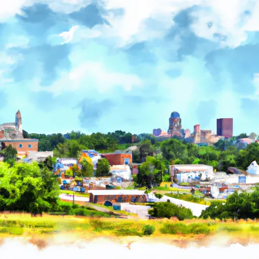
Mooresville, Missouri is a small town located in Livingston County. The climate in Mooresville is characterized by four distinct seasons. Summers are typically warm and humid, with temperatures ranging from the 70s to the 90s Fahrenheit. Winters are cold, with temperatures dropping below freezing, and occasional snowfall. Spring and fall bring mild temperatures, making them ideal for outdoor activities.
Hydrologically, Mooresville is situated in the Lower Grand River Basin. This area is known for its abundant water resources, with several rivers, creeks, and lakes nearby. The Grand River is the main hydrological feature in the region, providing opportunities for fishing, boating, and other water-based activities.
Outdoor recreation opportunities in Mooresville are plentiful. The town is surrounded by beautiful natural landscapes, including forests, prairies, and rolling hills. These areas offer opportunities for hiking, camping, bird-watching, and wildlife observation. Additionally, there are several parks and recreational areas nearby, providing amenities such as picnic areas, playgrounds, and sports fields.
Overall, Mooresville, Missouri offers a diverse range of outdoor activities for nature enthusiasts, thanks to its pleasant climate, hydrological resources, and natural landscapes.
Weather Forecast
Mooresville receives approximately 983mm of rain per year, with humidity levels near 82% and air temperatures averaging around 12°C. Mooresville has a plant hardyness factor of 5, meaning plants and agriculture in this region thrive during a short period during spring and early summer. Most plants will die off during the colder winter months.
Regional Streamflow Levels
34
Cubic Feet Per Second
361
Cubic Feet Per Second
7
Cubic Feet Per Second
63
Cubic Feet Per Second
Nearby Camping
| Camping Area | Reservations | Toilets | Showers |
|---|---|---|---|
| Lost Bridge North - Beaver Lake | |||
| Big M - Table Rock Lake | |||
| Beaver Town Park | |||
| Indian Creek - Beaver Lake | |||
| Eagle Rock - Table Rock Lake | |||
| Lake Leatherwood City Park |


