Summary
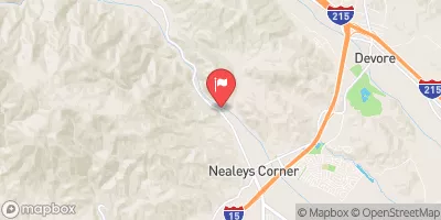
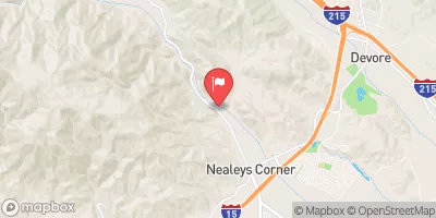
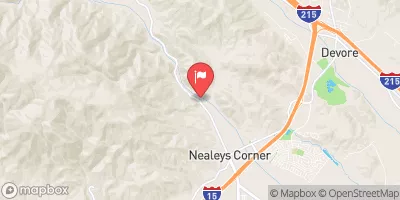
Baldy Trout Pools in California is a stocked, pay-to-fish trout facility perfect for families and beginners. Shore access only—no boats allowed. Fish in the clear, spring-fed ponds near the entrance or along the shaded banks for the best action. Rainbow trout are the main species, regularly stocked and easy to catch. PowerBait, nightcrawlers, or small spinners like Panther Martins work well. Best fishing is spring to early summer when water temperatures are cooler. No fishing license is required, and rods can be rented on-site. It’s a convenient, easy-access spot for a quick trout catch in the scenic San Gabriel Mountains.
°F
°F
mph
Wind
%
Humidity
15-Day Weather Outlook
5-Day Hourly Forecast Detail
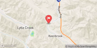
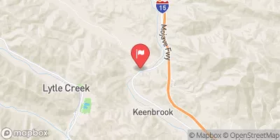
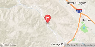
Nearby Streamflow Levels
Angling Safety Guidelines
Check local fishing rules, seasons, size limits, and license requirements to ensure legal and sustainable angling.
Handle Fish Responsibly
Use wet hands, minimize air exposure, and release fish gently to improve survival rates when practicing catch-and-release.
Choose the Right Gear
Match your rod, line, and tackle to the species and conditions to increase success and reduce unnecessary harm to fish.
Respect the Waterway
Avoid disturbing habitat, prevent bank erosion, and keep a safe distance from spawning areas to protect ecosystems.
Keep It Clean
Pack out all line, hooks, bait containers, and trash—discarded gear can injure wildlife and degrade waterways.
Related Links
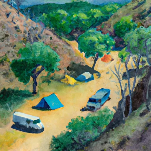
Area Campgrounds
| Location | Reservations | Toilets |
|---|---|---|
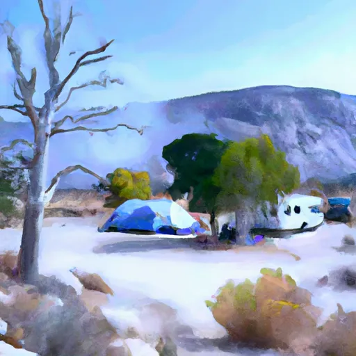 Manker Flat
|
||
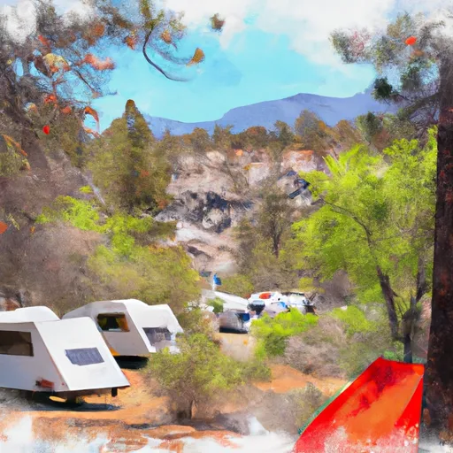 Manker Flat Campground
|
||
 Manker
|
||
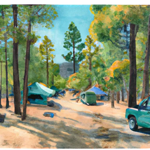 Cedar Glen Campground
|
||
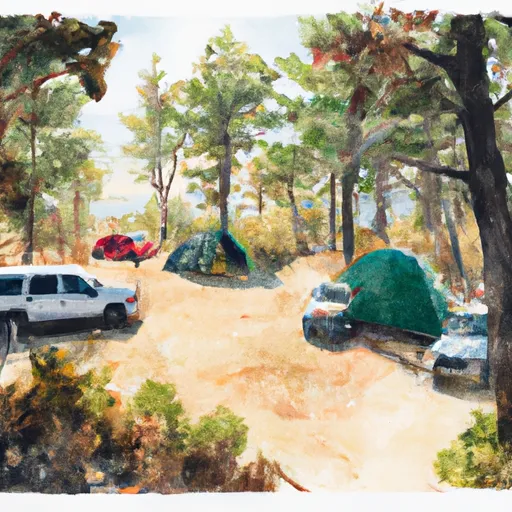 Kelly Camp
|
||
 Commanche
|

 San Antonio Dam
 Confluence Trail Park
 Fire Station Park
 Claremont Hills Park
 Beryl Park West
 Cultural Center Park