Lake Miccosukee Fishing
Community Reviews
Been here? Share the conditions.
Reviews, ratings & photos are added in the free Snoflo iOS app — rate a spot, tag the conditions, and your visit is verified by location. Add or manage your reviews from the app.
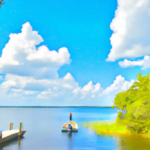
Lake Miccosukee
What's biting at Lake Miccosukee
Species commonly reported here -- tap any card for techniques, target seasons, and other waters where it's been caught.
Plan your trip down to the hour
Same weather feed Snoflo's iOS app uses -- updated continuously from NOAA / yr.no.
Next 5 days, hour by hour
Temperature line with weather symbols on top, snow + rain accumulation as columns, humidity as a dotted line.
5-day forecast table
Every 3 hours, broken out across temperature, snow, rain, humidity, and wind. Each cell is colour-coded relative to the column min/max so trends jump out at a glance.
| Time | Condition | Temp (°F) | Snow (in) | Rain (in) | Humidity (%) | Wind (mps) | Wind dir |
|---|---|---|---|---|---|---|---|
| Loading detailed forecast… | |||||||
15-day temperature & precipitation
Daily temperatures, snow, and rain projected over the next two weeks. Hover any point for the full breakdown.
Nearby streamflow
USGS streamgauges within reach of Lake Miccosukee -- updated continuously from the National Water Information System.
| Streamgauge | Discharge | View |
|---|---|---|
| Aucilla River At Lamont | · | → |
| Wacissa River Nr Wacissa Fla | 204 cfs | → |
| Ochlockonee River Nr Concord | 221 cfs | → |
| Ochlockonee River Near Thomasville | 127 cfs | → |
| St. Marks River Near Newport | 476 cfs | → |
| Ochlockonee River Nr Havana | 229 cfs | → |
Plan a longer trip
The closest campgrounds, parks, boat launches, and reservoirs so a fishing run can grow into a weekend.
Parks
- Letchworth-Love Mounds Archaeological State Park
- Jefferson County Recreation Park
- Chaires Capitola Community Park
- L Kirk Edwards Wildlife And Environmental Area
- J. R. Alford Greenway
- St Marks River State Park
Reservoirs
- Open Pond Dam
- Perkins Dam
- Perkins Plantation Pond Dam
- Lake Louise Dam
- Fl Jefferson Co Noname 1
- Edge Dam
Boat launches
- Roco County Road 16900, Tallahassee
- Lake Miccosukee South Public Boat Ramp
- Reeves Landing
- Van Brunt - Lake Iamonia Landing
- Sneads Drive 96, Greenville
- Wacissa Springs Road 433, Greenville
Points of interest
- Redemptive Love Farm
- Shoe Shine House
- Elisabeth Ireland Poe Gallery (2nd Floor)
- Carpenter's Shop
- Nurse's Station
Paddle runs
- Headwaters To Concrete Bridge (Burnt Bridge) On Fh 13 (Where River Enters Bradwell Ray Wilderness)
- Bradwell Bay Wilderness (Northern Boundary) To Bradwell Bay Wilderness Boundary At Trice Bridge On Fr 329
- Tirce Creek Bridge (Monkey Creek) To Forest Service Property Boundary In Sec 13
- State Highway 6 To The Confluence With The Suwannee River
- 2 Miles Below Dam On Lake Talquin To Ochlockonee Bay
- Forest Service Property Bounday To St. Marks Wildlife Refuge Boundary
Angling safety & ethics
- Know the regulations
- Check local fishing rules, seasons, size limits, and license requirements to ensure legal and sustainable angling.
- Handle fish responsibly
- Use wet hands, minimize air exposure, and release fish gently to improve survival rates when practicing catch-and-release.
- Choose the right gear
- Match your rod, line, and tackle to the species and conditions to increase success and reduce unnecessary harm to fish.
- Respect the waterway
- Avoid disturbing habitat, prevent bank erosion, and keep a safe distance from spawning areas to protect ecosystems.
- Keep it clean
- Pack out all line, hooks, bait containers, and trash. Discarded gear can injure wildlife and degrade waterways.
Set push alerts in the Snoflo app
Save Lake Miccosukee as a favorite, set a custom threshold (water temperature, streamflow, snowpack), and the iOS app will push the moment conditions cross.
About Lake Miccosukee
What fish species are found at Lake Miccosukee?
Snoflo tracks the species commonly reported at Lake Miccosukee -- see the Fish Species panel above for the live list with images and links to per-species pages.
How fresh is the weather data on this page?
The hourly forecast updates throughout the day from the NOAA / yr.no public feeds. Streamflow data comes live from USGS streamgauges, also refreshed continuously.
Can I get alerts when conditions change?
Yes -- alerts are managed through the Snoflo iOS app. Favorite this area, set a threshold (water temperature, streamflow, snowpack), and you'll get a push the moment it crosses.
Do I need a fishing license?
Yes. Check your state agency's regulations for license requirements, seasons, size limits, and any waterbody-specific rules before fishing Lake Miccosukee.
How do I get to Lake Miccosukee?
Tap Open in map in the hero above to center the Snoflo interactive map on this area, or grab the coordinates from the location facts panel.
Other angling spots near here
Snoflo-tracked fishing areas within driving distance of Lake Miccosukee.