
Summary
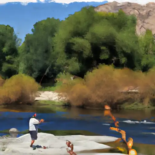
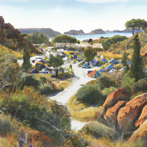
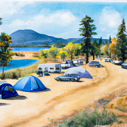
The area provides opportunities for camping, hiking, and water sports. Fishing tips include using live bait, spinnerbaits, and jigs. The best time to visit is in the spring and fall when temperatures are mild and fish are more active. In the spring, temperatures average around 70°F while in the fall, temperatures average around 80°F. However, it is important to note that temperatures can fluctuate greatly throughout the day and weather conditions can change rapidly.
 Largemouth Bass
 White Bass
 Bluegill
 Channel Catfish
 Flathead Catfish
 King Salmon
 Green Sunfish
 Golden Trout
 Rainbow Trout
 Lake Isabella
 South Fork Kern River
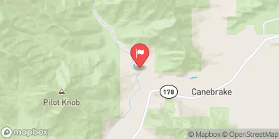
 Hanning Flat Dispersed Area
Weather Forecast
Nearby Streamflow Levels
Angling Safety Guidelines
Check local fishing rules, seasons, size limits, and license requirements to ensure legal and sustainable angling.
Handle Fish Responsibly
Use wet hands, minimize air exposure, and release fish gently to improve survival rates when practicing catch-and-release.
Choose the Right Gear
Match your rod, line, and tackle to the species and conditions to increase success and reduce unnecessary harm to fish.
Respect the Waterway
Avoid disturbing habitat, prevent bank erosion, and keep a safe distance from spawning areas to protect ecosystems.
Keep It Clean
Pack out all line, hooks, bait containers, and trash—discarded gear can injure wildlife and degrade waterways.
Related Links
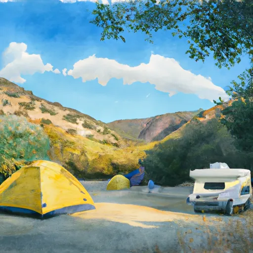
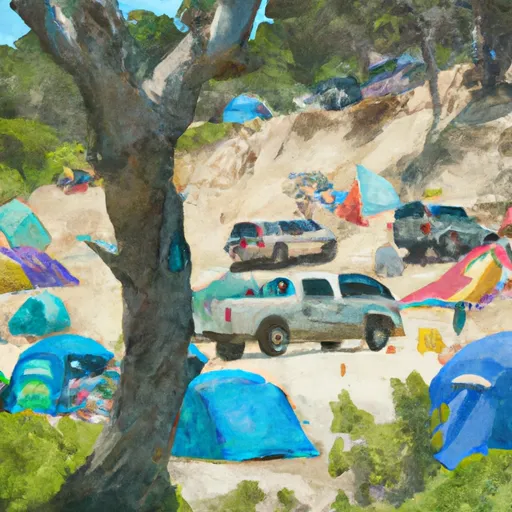
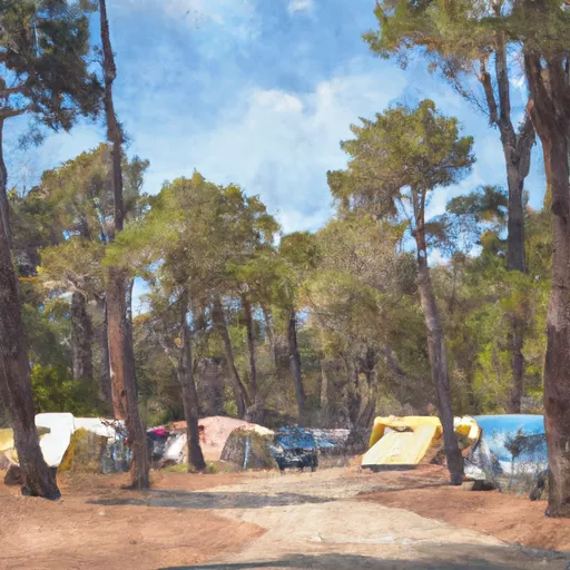
Area Campgrounds
| Location | Reservations | Toilets |
|---|---|---|
 South Fork Rec Campground
|
||
 Paradise Cove Campground
|
||
 Paradise Cove
|
||
 Camp 9 Recreation Area Campground
|
||
 Camp 9 Lakeside Group Campgrounds
|
||
 Camp 9
|
 Isabella Dam
 Kern County