Summary
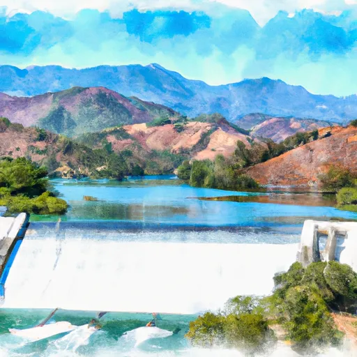
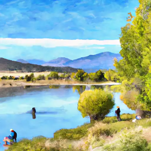
It services Lake Isabella, which is a reservoir on the Kern River in Kern County, California.
According to the official website of the U.S. Forest Service, the following types of watercraft are allowed on Lake Isabella: motorized boats, non-motorized boats, sailboats, kayaks, canoes, and paddleboards. However, it should be noted that there are some restrictions on the use of certain types of watercraft, such as jet skis and personal watercraft, in certain areas of the lake.
It is important to note that conditions at the boat ramp may change due to factors such as weather, water levels, and maintenance. Therefore, it is advisable to consult official sources or local authorities for the latest information on the status and availability of the Highway 178 boat ramp in Lake Isabella.
°F
°F
mph
Wind
%
Humidity
15-Day Weather Outlook
5-Day Hourly Forecast Detail
Area Streamflow Levels
| SF KERN R NR ONYX CA | 119cfs |
| DEER C NR FOUNTAIN SPRINGS CA | 39cfs |
| SF TULE R NR CHOLOLLO CAMPGROUND NR PORTERVILLE CA | 15cfs |
| SF TULE R NR RESERVATION BNDRY NR PORTERVILLE CA | 56cfs |

 Highway 178 10716-10726, Lake Isabella
 Isabella Lake Dam To 7 Miles Downstream
 Sandy Flat Camp to Democrat Picnic Area
 Lake Isabella
 Isabella Lake
 Hanning Flat Dispersed Area