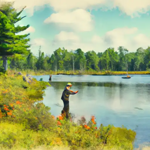
Deer Lake Basin Fishing
As of July 24, 2026, the nearest streamgauge to Deer Lake Basin — Greenwood Diversion Near Greenwood — reports 20 cfs. Source: USGS gauge data, refreshed throughout the day.
Community Reviews
Been here? Share the conditions.
Reviews, ratings & photos are added in the free Snoflo iOS app — rate a spot, tag the conditions, and your visit is verified by location. Add or manage your reviews from the app.
Deer Lake Basin
What's biting at Deer Lake Basin
Species commonly reported here -- tap any card for techniques, target seasons, and other waters where it's been caught.
Plan your trip down to the hour
Same weather feed Snoflo's iOS app uses -- updated continuously from NOAA / yr.no.
Next 5 days, hour by hour
Temperature line with weather symbols on top, snow + rain accumulation as columns, humidity as a dotted line.
5-day forecast table
Every 3 hours, broken out across temperature, snow, rain, humidity, and wind. Each cell is colour-coded relative to the column min/max so trends jump out at a glance.
| Time | Condition | Temp (°F) | Snow (in) | Rain (in) | Humidity (%) | Wind (mps) | Wind dir |
|---|---|---|---|---|---|---|---|
| Loading detailed forecast… | |||||||
15-day temperature & precipitation
Daily temperatures, snow, and rain projected over the next two weeks. Hover any point for the full breakdown.
Nearby streamflow
USGS streamgauges within reach of Deer Lake Basin -- updated continuously from the National Water Information System.
| Streamgauge | Discharge | View |
|---|---|---|
| Greenwood Diversion Near Greenwood | 20 cfs | → |
| Greenwood Release Near Greenwood | 25 cfs | → |
| Middle Branch Escanaba River At Humboldt | 31 cfs | → |
| Schweitzer Creek Near Palmer | 6 cfs | → |
| Middle Branch Escanaba River Nr Princeton | 134 cfs | → |
| Silver River Near L'Anse | 55 cfs | → |
Plan a longer trip
The closest campgrounds, parks, boat launches, and reservoirs so a fishing run can grow into a weekend.
Campgrounds
- Country Village Rv Park
- Private Camp
- Little Garlic River Campsite
- Little Presque Isle Cabins
- Rippling River Resort
- Michigamme Shores Campground
Reservoirs
- Carp River Dam
- Lake Sally Dam
- Ogden Lake Dam
- Hoist
- Hoist Left Embankment Saddle Dike
- Tilden Recirculation Basin
Boat launches
- Deer Lake
- County Road Aax Champion Township
- Hoist Dam Road Negaunee Township
- Old County Road 510 Negaunee Township
- County Road Pfj Tilden Township
- Greenwood Reservoir Road Ely Township
Points of interest
- Cliffs Shaft Mine Museum
- Negaunee Historical Society Museum
- Michigan Iron Industry Museum
- Forestville Fireplace
- Lower Carp Falls
- Morgan Falls
Paddle runs
- East Branch Net River, From Its Source In Sec 8, T47n, R32w To Confluence With Mainstem Net River In Sec 24, T46n, R34w
- West Branch Net River, From Its Source In Sec 35, T48n, R34w To Confluence With Mainstem Net River In Sec 24, T46n, R34w
- Mainstem, Easternforest Boundary In Sec 1, T44n, R35w To City Of Crystal Falls
- West Branch From Source In Sec 26, T46n, R23 W To Junction With County Road 444
- From Wagner Lake In Sec 13, T49n, R31w To Eastern Boundary Of The Ottawa Nf In Sec 12, T48n, R35@
- Net River Mainstem, Confluence With East/West Branches To Confluence With The Mainstem Paint River
Angling safety & ethics
- Know the regulations
- Check local fishing rules, seasons, size limits, and license requirements to ensure legal and sustainable angling.
- Handle fish responsibly
- Use wet hands, minimize air exposure, and release fish gently to improve survival rates when practicing catch-and-release.
- Choose the right gear
- Match your rod, line, and tackle to the species and conditions to increase success and reduce unnecessary harm to fish.
- Respect the waterway
- Avoid disturbing habitat, prevent bank erosion, and keep a safe distance from spawning areas to protect ecosystems.
- Keep it clean
- Pack out all line, hooks, bait containers, and trash. Discarded gear can injure wildlife and degrade waterways.
Set push alerts in the Snoflo app
Save Deer Lake Basin as a favorite, set a custom threshold (water temperature, streamflow, snowpack), and the iOS app will push the moment conditions cross.
About Deer Lake Basin
What fish species are found at Deer Lake Basin?
Snoflo tracks the species commonly reported at Deer Lake Basin -- see the Fish Species panel above for the live list with images and links to per-species pages.
How fresh is the weather data on this page?
The hourly forecast updates throughout the day from the NOAA / yr.no public feeds. Streamflow data comes live from USGS streamgauges, also refreshed continuously.
Can I get alerts when conditions change?
Yes -- alerts are managed through the Snoflo iOS app. Favorite this area, set a threshold (water temperature, streamflow, snowpack), and you'll get a push the moment it crosses.
Do I need a fishing license?
Yes. Check your state agency's regulations for license requirements, seasons, size limits, and any waterbody-specific rules before fishing Deer Lake Basin.
How do I get to Deer Lake Basin?
Tap Open in map in the hero above to center the Snoflo interactive map on this area, or grab the coordinates from the location facts panel.
Other angling spots near here
Snoflo-tracked fishing areas within driving distance of Deer Lake Basin.