Summary
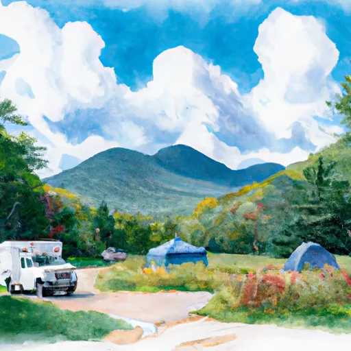
With an impressive elevation of [elevation], it stands tall as one of the highest peaks in the region. This majestic mountain boasts a significant size, offering breathtaking views and challenging terrain for mountaineers and outdoor enthusiasts alike.
During the winter seasons, Cascade experiences a diverse snowpack range. Snow accumulation varies depending on the year, with an average depth ranging from [range] at its peak. This makes Cascade an ideal destination for winter sports enthusiasts, including skiing and snowboarding. The mountain's snowpack also contributes to the runoff that feeds into several creeks and rivers in the surrounding area, including [specific creeks/rivers]. These water sources benefit the local ecosystem and provide recreational opportunities such as fishing and rafting.
The name "Cascade" holds historical significance in the region. It is believed to have been derived from [historical origin/legend/lore]. This mountain has served as a landmark for indigenous tribes and early explorers, leaving behind a rich tapestry of stories and legends. Its awe-inspiring beauty and challenging terrain continue to attract adventurers from all over, ensuring that Cascade remains a cherished part of the North American Plains mountain range.
°F
°F
mph
Wind
%
Humidity
15-Day Weather Outlook
5-Day Hourly Forecast Detail
Regional Streamflow Levels
125
Cubic Feet Per Second
116
Cubic Feet Per Second
194
Cubic Feet Per Second
744
Cubic Feet Per Second
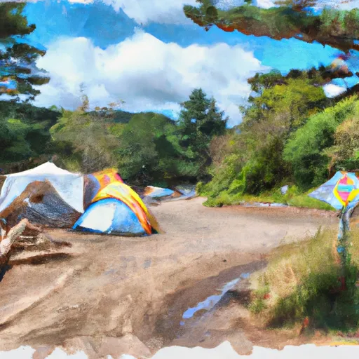
Area Campgrounds
| Location | Reservations | Toilets |
|---|---|---|
 Wilderness Campground at Heart Lake
|
||
 Sno-bird
|
||
 Gulf Brook Campsite #1
|
||
 Gulf Brook Campsite #2
|
||
 Lost Pond Campsite
|
||
 Wilmington Notch - DEC
|
