Summary
Standing tall at an elevation of approximately 4,265 feet, it offers breathtaking views of the surrounding landscape. This mountain is part of the White Mountains region, which is renowned for its scenic beauty and challenging hiking trails. Bondcliff is well-known for its distinctive cliff face, which gives it its name.
During the winter season, Bondcliff experiences a significant snowpack range. The amount of snowfall can vary greatly depending on weather conditions, ranging from a few inches to several feet. This makes it a popular destination for winter mountaineering and backcountry skiing enthusiasts. The snowpack provides a stunning backdrop for adventurers seeking a thrilling winter experience.
Several creeks and rivers are found at the base of Bondcliff, benefiting from the mountain's runoff. These include the Pemigewasset River, the East Branch Pemigewasset River, and the Black Brook. These water sources contribute to the overall ecosystem of the area, sustaining a diverse array of plants and wildlife.
As for the history and lore surrounding Bondcliff, there are various stories that have been passed down over time. One legend suggests that the mountain was named after a man named Bond, who lived in the area and was known for his daredevil feats on the cliffs. Another tale speaks of hidden treasure believed to be buried near the summit. However, it's important to approach these stories with skepticism, as their accuracy cannot be fully verified.
In conclusion, Bondcliff is a remarkable peak in the Appalachian Mountains with an elevation of approximately 4,265 feet. Its snowpack range during the winter season attracts winter sports enthusiasts, and the mountain's runoff feeds several creeks and rivers in the surrounding area. While the origin of its name and the legends associated with Bondcliff add intrigue to its history, their authenticity remains uncertain.
°F
°F
mph
Wind
%
Humidity
15-Day Weather Outlook
5-Day Hourly Forecast Detail
Regional Streamflow Levels
58
Cubic Feet Per Second
1,720
Cubic Feet Per Second
45
Cubic Feet Per Second
315
Cubic Feet Per Second
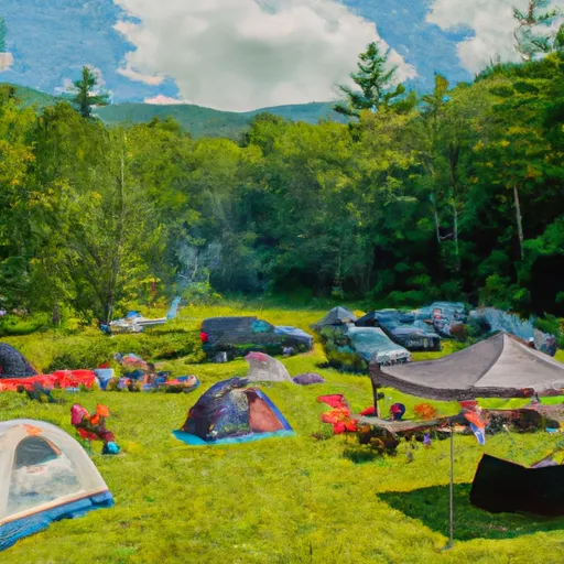
Area Campgrounds
| Location | Reservations | Toilets |
|---|---|---|
 Guyot Shelter
|
||
 Thirteen Falls
|
||
 Thirteen Falls Tentsite
|
||
 Franconia Brook Tentsite
|
||
 Garfield Ridge Shelter
|
||
 Liberty Spring Tentsite
|
