Summary
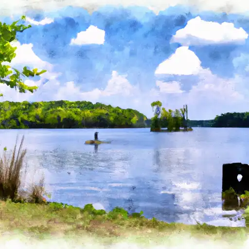
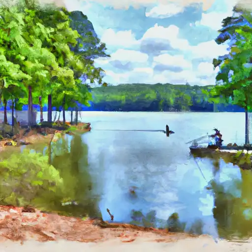
With an elevation of 2,413 feet (735 meters), this majestic mountain offers breathtaking views and diverse recreational opportunities. Spanning approximately 2,799 acres (11.33 square kilometers), Cheaha Mountain State Park provides visitors with ample space for outdoor adventures.
During the winter season, Cheaha Mountain experiences a varying snowpack range, depending on weather conditions. Snowfall can accumulate to several inches, creating a picturesque winter wonderland for outdoor enthusiasts. This snowpack offers opportunities for activities like snowshoeing, cross-country skiing, and sledding, attracting visitors seeking winter thrills.
The mountain's runoff feeds several creeks and rivers in the area, including the Tallapoosa, Coosa, and Cahaba rivers. These waterways are not only crucial for the local ecosystem but also provide recreational opportunities such as fishing and rafting for visitors.
Regarding its name, Cheaha Mountain is derived from the Creek Indian word "Chaha," meaning "high place." This name accurately reflects the stature of the mountain in the region. Additionally, Cheaha Mountain is steeped in fascinating legends and lore. One legend tells the story of a Native American princess who fell in love with a warrior from a rival tribe. The forbidden love ultimately resulted in their tragic deaths near the mountain's summit. These stories add an intriguing layer of mystique to Cheaha Mountain's rich history.
Sources:
- Alabama State Parks: https://www.alapark.com/parks/cheaha-state-park
- Outdoor Alabama: https://www.outdooralabama.com/activities/mountains/cheaha-mountain-state-park
°F
°F
mph
Wind
%
Humidity
15-Day Weather Outlook
5-Day Hourly Forecast Detail
Regional Streamflow Levels
1,270
Cubic Feet Per Second
39
Cubic Feet Per Second
0
Cubic Feet Per Second
216
Cubic Feet Per Second
Area Campgrounds
| Location | Reservations | Toilets |
|---|---|---|
 Cheaha State Park
|
||
 Turnipseed Campground
|
||
 Turnipseed Hunter Camp
|
||
 Lake Chinnabee
|

 Choccolocco Number 11 Lake
 Morgan Lake
 Lake Virginia