2026-02-24T00:00:00-05:00
* WHAT...Heavy snow. Additional snow accumulations up to 6 inches. Winds gusting as high as 60 mph. Wind chills as cold as 5 degrees below zero early Monday morning. * WHERE...Avery County. * WHEN...Until midnight EST Monday Night. * IMPACTS...Heavy snow will make many roads impassable. The weight of the snow on tree limbs and power lines could produce isolated outages. The hazardous conditions could impact the Monday morning and evening commutes. Strong winds could cause extensive damage to trees and power lines.
Summary
This prominent landmark offers stunning panoramic views and attracts hikers and mountaineers throughout the year. The mountain is known for its unique hump-like shape, which is believed to have inspired its name.
During the winter season, Hump Mountain experiences varying snowpack ranges. The amount of snowfall can vary greatly depending on weather conditions and annual precipitation patterns. The higher elevations of the mountain tend to receive more snowfall, creating favorable conditions for winter sports enthusiasts and backcountry adventurers.
Hump Mountain is surrounded by several creeks and rivers that receive runoff from its slopes. One such notable waterway is the Nolichucky River, which originates from the western side of the mountain. The river provides ample opportunities for water-based activities such as fishing, rafting, and kayaking.
While there may be local legends or lore associated with Hump Mountain, it is important to verify their accuracy through multiple independent sources.
°F
°F
mph
Wind
%
Humidity

 Mountain View Motorcycle Campground
 Roan Mountain State Park
 Upper Laurel Fork
 Mountaineer shelter
 Lil Rock Creek Campground
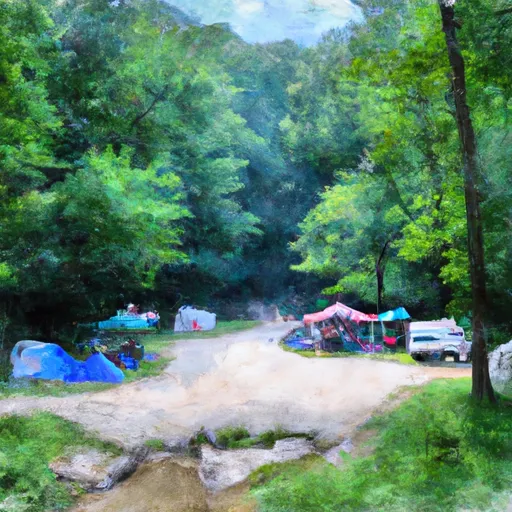 Living Waters Campground