2026-02-24T00:00:00-05:00
* WHAT...Occasional snow showers will continue this evening through Monday night. Total snow accumulations of 1 to 4 inches from 2000 to 4000 feet. From 4 to 8 inches above 4000 feet. Northwest winds gusting to around 40 mph. Wind chill values will drop to 5 to 10 degrees below zero across the highest elevations. * WHERE...A portion of east Tennessee. * WHEN...Until midnight EST Monday Night. * IMPACTS...Plan on slippery road conditions. The hazardous conditions could impact the Monday morning and evening commutes. Gusty winds could bring down tree branches.
Summary
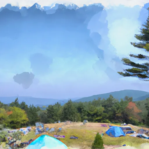
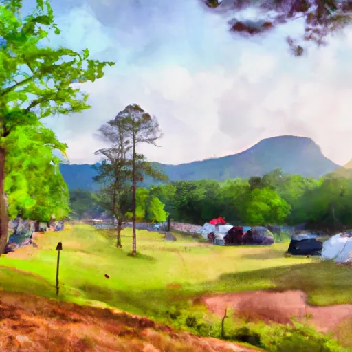
With an elevation of approximately 5,800 feet, it offers an impressive vantage point for hikers and mountaineers. The mountain got its name from the abundance of grassy meadows and balds found on its slopes, which create a distinct landscape compared to the surrounding forested peaks.
During the winter season, Jane Bald experiences a variable snowpack, ranging from light dustings to significant accumulations. The snowpack depth can vary greatly depending on weather patterns, but on average, it is not as heavy as in some higher peaks of the Appalachian range. This makes Jane Bald a popular destination for winter hiking and snowshoeing, as the snow conditions are often manageable and less hazardous.
Additionally, numerous creeks and rivers receive runoff from Jane Bald, contributing to their flow throughout the year. The specific waterways impacted by the mountain's runoff vary depending on the location and topography of the surrounding area. These water sources serve a vital role in the local ecosystem, providing habitats for various species and ensuring a steady water supply for nearby communities.
While the history of the name "Jane Bald" and any associated legends or lore may be challenging to ascertain without further research, it is important to consult multiple independent sources to ensure accuracy. By cross-referencing information, mountaineers and enthusiasts can gain a comprehensive understanding of Jane Bald and its significance in the Appalachian Mountains.
°F
°F
mph
Wind
%
Humidity

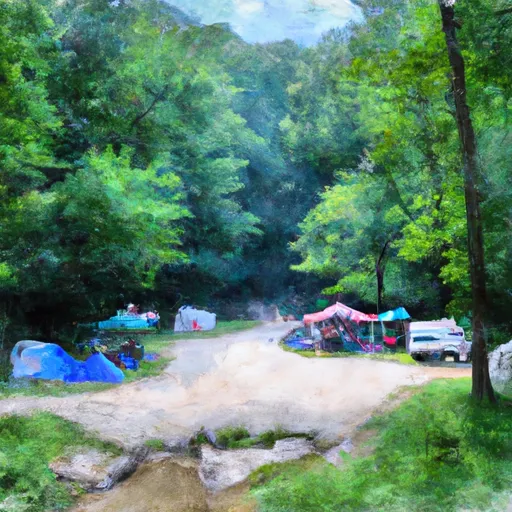
 Lil Rock Creek Campground
 Living Waters Campground
 Roan Mountain State Park
 Mountain View Motorcycle Campground
 Buck Hill Campground
 Saylor Lake RV Park