Summary
With an elevation of 4,175 feet (1,273 meters), it offers breathtaking views and is a favorite destination for mountaineers and hikers alike. The mountain is known for its challenging trails, making it popular among experienced adventurers seeking a thrilling climb.
During the winter season, Lower Wolfjaw Mountain experiences a significant snowpack. The snowpack range varies each year depending on weather conditions, but it generally accumulates from December to March. This makes it a fantastic spot for winter sports enthusiasts, such as snowshoeing and backcountry skiing. The mountain's snow-covered slopes provide a picturesque and serene environment for those seeking outdoor activities in the colder months.
Lower Wolfjaw Mountain is surrounded by several creeks and rivers, some of which receive runoff from the mountain's snowmelt during spring. These waterways contribute to the region's ecosystem and provide habitat for various aquatic species. Hikers can enjoy the pleasant sound of flowing water as they traverse the mountain's trails, adding to the overall experience.
The name "Lower Wolfjaw" is derived from the mountain's distinctive shape, resembling the jaw of a wolf when viewed from a certain angle. This unique feature has led to various legends and folklore surrounding the mountain. While there are no specific historical accounts or documented stories associated with Lower Wolfjaw Mountain, the captivating name adds an element of mystery to the mountain's allure.
In conclusion, Lower Wolfjaw Mountain in the Appalachian Mountains offers a challenging and rewarding mountaineering experience. With its impressive elevation, abundant snowpack during the winter season, and scenic waterways, it attracts outdoor enthusiasts from far and wide. Whether conquering its trails or marveling at its natural beauty, Lower Wolfjaw Mountain promises an unforgettable adventure for all who venture to its slopes.
°F
°F
mph
Wind
%
Humidity
15-Day Weather Outlook
5-Day Hourly Forecast Detail
Regional Streamflow Levels
744
Cubic Feet Per Second
20
Cubic Feet Per Second
373
Cubic Feet Per Second
53
Cubic Feet Per Second
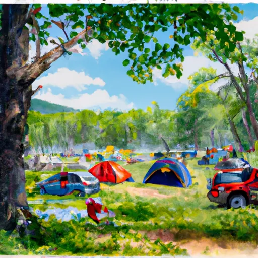
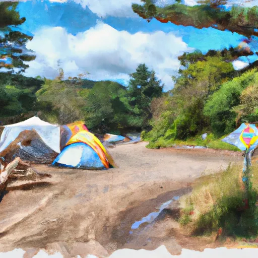
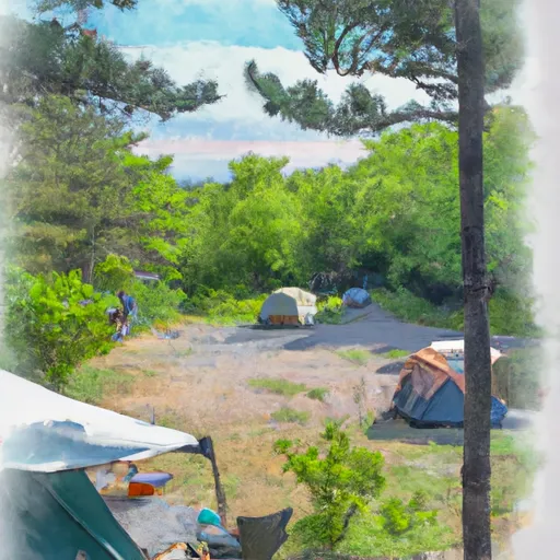
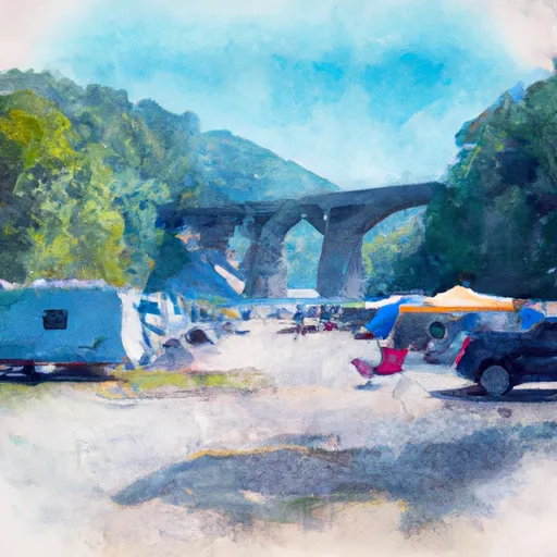
Area Campgrounds
| Location | Reservations | Toilets |
|---|---|---|
 Sno-bird
|
||
 Wilderness Campground at Heart Lake
|
||
 Gulf Brook Campsite #1
|
||
 Gulf Brook Campsite #2
|
||
 Lost Pond Campsite
|
||
 Sharp Bridge - DEC
|
