Summary
Its sizeable prominence offers breathtaking views of the surrounding White Mountains region. During the winter season, Mount Carrigain experiences a substantial snowpack, with depths ranging from a few inches to several feet. This makes it a popular destination for winter mountaineering and backcountry skiing enthusiasts.
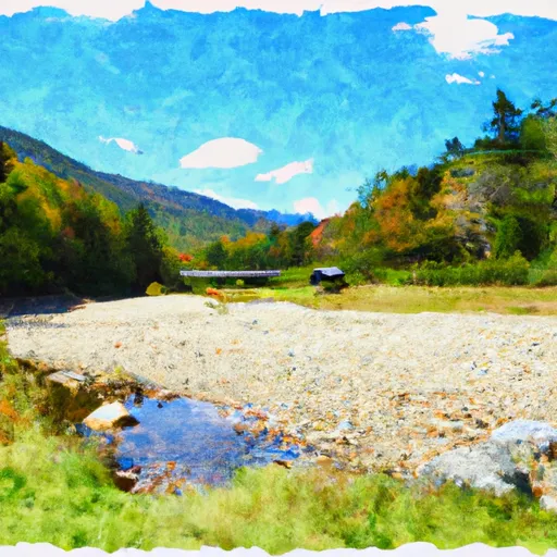
Mount Carrigain is known for its numerous creeks and rivers that are fed by the mountain's runoff. The Swift River, in particular, receives water from the melting snowpack and flows through the valley below, providing a picturesque landscape for hikers and nature enthusiasts.
The mountain's name has an intriguing history. It is named after Philip Carrigain, a New Hampshire state legislator and Secretary of State during the early 19th century. Carrigain played a significant role in promoting the exploration and mapping of the White Mountains. Despite its name's historical significance, Mount Carrigain does not possess any legendary or lore associated with it.
In conclusion, Mount Carrigain in the Appalachian Mountains is a notable peak with an elevation of 4,700 feet. It offers stunning views, particularly during the winter season when it experiences a substantial snowpack. The mountain's runoff feeds into creeks and rivers, including the Swift River. Named after Philip Carrigain, the mountain holds historical significance but lacks any specific legends or folklore.
°F
°F
mph
Wind
%
Humidity

 Sawyer Pond Shelter & Tentsite
 Fourth Iron Campground
 Ethan Pond Shelter
 Dry River Campsites
 Franconia Brook Tentsite
 Dry River - Crawford Notch State Park