Summary
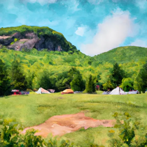
With an elevation of approximately 1,365 meters (4,478 feet), it offers a challenging climb and stunning panoramic views from its summit. This mountain is known for its diverse ecosystems, ranging from lower elevation forests to alpine tundra at higher elevations.
During the winter season, Mount Field receives a substantial amount of snowpack, making it a popular destination for winter sports enthusiasts. The snowpack depth can vary depending on weather conditions, but it typically ranges from several feet to over ten feet deep, creating excellent conditions for skiing, snowboarding, and snowshoeing.
Several creeks and rivers benefit from the runoff of Mount Field. One notable example is the Crystal Cascade, a picturesque waterfall that is fed by the mountain's melting snow. This waterfall attracts visitors year-round, offering a refreshing respite during the hot summer months and freezing into stunning ice formations during winter.
The name "Mount Field" has historical significance, as it honors Cyrus Field, a prominent businessman and entrepreneur. Field played a crucial role in the development of transatlantic telegraph cables during the 19th century, revolutionizing global communication. The mountain's name serves as a reminder of his contributions to technology and connectivity.
While Mount Field lacks specific legendary tales or folklore associated with it, its natural beauty and challenging terrain continue to captivate mountaineers and outdoor enthusiasts alike. It is essential for those exploring Mount Field to come prepared with appropriate gear and knowledge of the terrain, as the mountain's rugged environment demands respect and caution.
°F
°F
mph
Wind
%
Humidity
15-Day Weather Outlook
5-Day Hourly Forecast Detail
Regional Streamflow Levels
1,720
Cubic Feet Per Second
41
Cubic Feet Per Second
45
Cubic Feet Per Second
332
Cubic Feet Per Second
Area Campgrounds
| Location | Reservations | Toilets |
|---|---|---|
 Ethan Pond Shelter
|
||
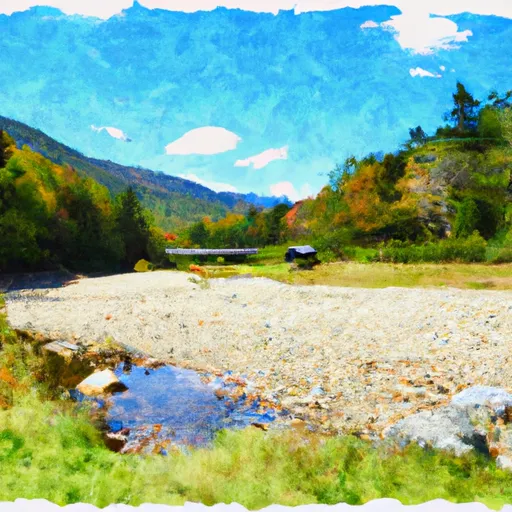 Dry River - Crawford Notch State Park
|
||
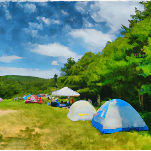 Naumann tentsite
|
||
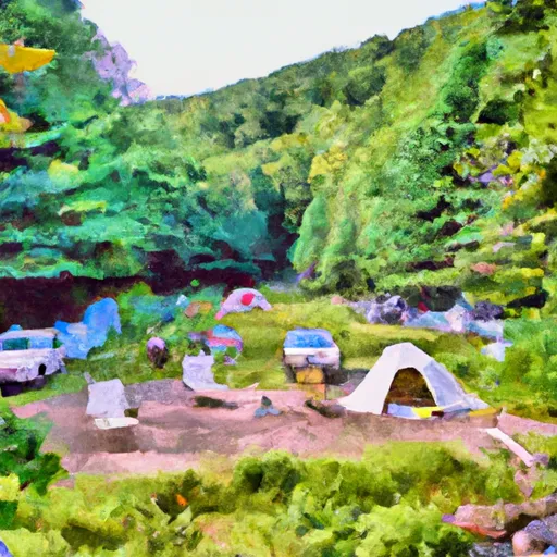 Dry River Campsites
|
||
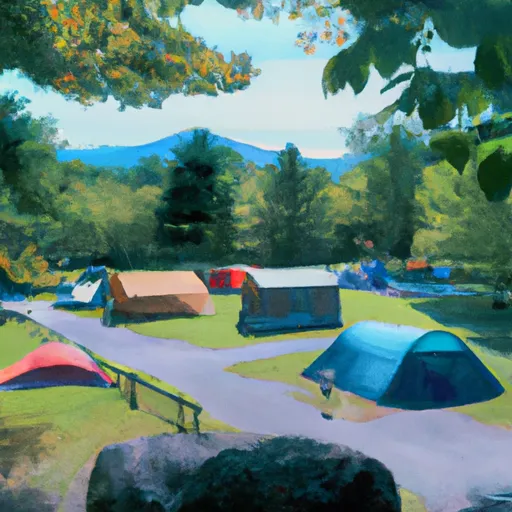 Sugarloaf2 Campgrounds
|
||
 Sugarloaf 2
|
