Summary
This mountain offers a challenging and rewarding experience for mountaineers. It is known for its isolation, as the name suggests, and its striking beauty.
During the winter season, the snowpack on Mount Isolation can vary greatly. With an average annual snowfall of around 100 inches, the mountain provides an ideal destination for winter sports enthusiasts. The snowpack ranges from light powder to dense layers, creating diverse and thrilling conditions for skiing, snowboarding, and snowshoeing.
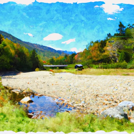
Mount Isolation also boasts numerous creeks and rivers that benefit from its runoff. One of the significant water bodies is the Rocky Branch, a scenic stream that flows down the mountain. It feeds into the Saco River, providing a vital water source for the surrounding ecosystems and communities.
Regarding its history and lore, Mount Isolation's name originates from the perception of its remoteness and separation from neighboring peaks. This name exemplifies the mountain's unique character, attracting adventurers seeking solitude and the thrill of conquering an isolated summit. Although no specific legends or folklore are associated with Mount Isolation, its captivating beauty and challenging terrain make it a remarkable destination for mountaineers to explore in the heart of the Appalachian Mountains.
°F
°F
mph
Wind
%
Humidity
15-Day Weather Outlook
5-Day Hourly Forecast Detail
Area Campgrounds
| Location | Reservations | Toilets |
|---|---|---|
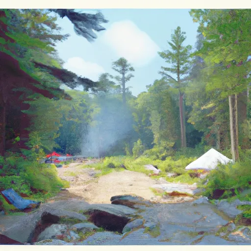 Dry River Shelter #3
|
||
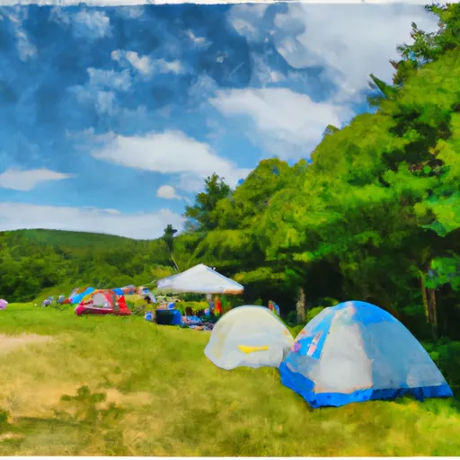 Naumann tentsite
|
||
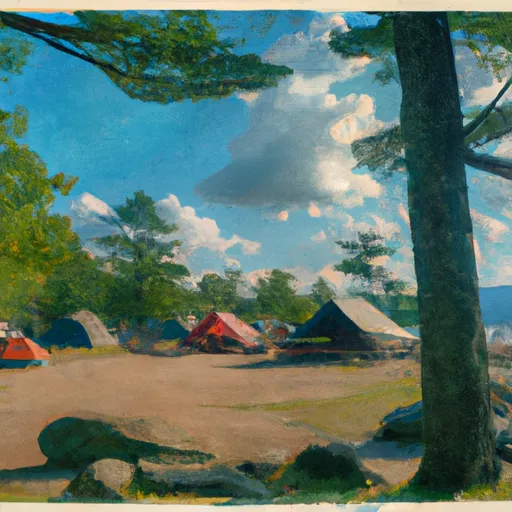 Hermit Lake Shelters
|
||
 Rocky Branch Shelter #1
|
||
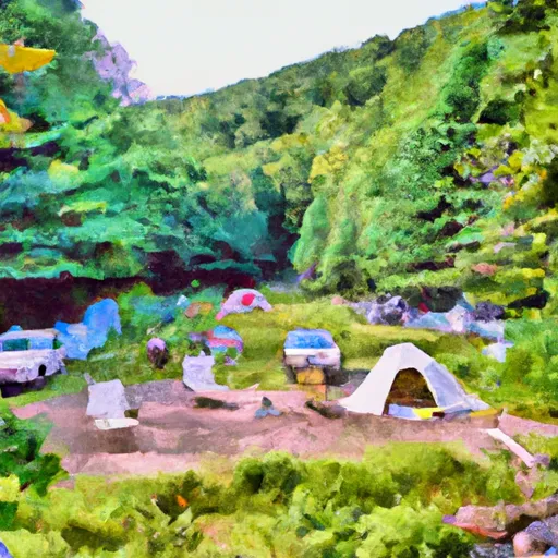 Dry River Campsites
|
||
 Dry River - Crawford Notch State Park
|
