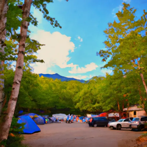
Summary
Standing at an elevation of 4,055 feet (1,236 meters), it offers breathtaking views of the surrounding landscape. This mountain is part of the White Mountains in New Hampshire, which are renowned for their stunning beauty and challenging hiking trails.
During the winter season, Mount Hale receives a substantial amount of snowfall due to its high elevation. The snowpack typically ranges from several feet to over ten feet, making it a popular destination for winter sports enthusiasts. This abundant snowfall contributes to the region's reputation as a prime location for skiing, snowboarding, and snowshoeing.
Several creeks and rivers receive runoff from Mount Hale, including the Zealand River and the Little River. These water sources are vital for the local ecosystem, providing nourishment to plants and supporting wildlife populations. Additionally, the crystal-clear waters of these creeks and rivers attract visitors who enjoy fishing and other water-based activities.
The name "Hale" is believed to be derived from the Old English word "healh," meaning "corner" or "nook." This mountain has a rich history and is associated with fascinating legends and lore. Local tales tell of hidden treasure buried within its slopes and mysterious sightings of supernatural beings. These legends add an air of mystique and intrigue to the allure of Mount Hale.
In conclusion, Mount Hale in the Appalachian Mountains stands tall at an elevation of 4,055 feet, offering majestic views and challenging terrain. Its winter snowpack ranges from several feet to over ten feet, attracting winter sports enthusiasts. The mountain's runoff feeds into creeks and rivers, providing essential resources for the local ecosystem. With an intriguing name and captivating legends, Mount Hale is a notable destination for mountaineers and nature enthusiasts alike.
°F
°F
mph
Wind
%
Humidity
15-Day Weather Outlook
5-Day Hourly Forecast Detail
Regional Streamflow Levels
45
Cubic Feet Per Second
332
Cubic Feet Per Second
58
Cubic Feet Per Second
1,720
Cubic Feet Per Second
Area Campgrounds
| Location | Reservations | Toilets |
|---|---|---|
 Sugarloaf2 Campgrounds
|
||
 Sugarloaf II Campground
|
||
 Sugarloaf 2
|
||
 Sugarloaf 1
|
||
 Sugarloaf I Campground
|
||
 Sugarloaf 1 Campgrounds
|
