2026-02-24T00:00:00-05:00
* WHAT...Occasional snow showers will continue this evening through Monday night. Total snow accumulations of 1 to 4 inches from 2000 to 4000 feet. From 4 to 8 inches above 4000 feet. Northwest winds gusting to around 40 mph. Wind chill values will drop to 5 to 10 degrees below zero across the highest elevations. * WHERE...A portion of east Tennessee. * WHEN...Until midnight EST Monday Night. * IMPACTS...Plan on slippery road conditions. The hazardous conditions could impact the Monday morning and evening commutes. Gusty winds could bring down tree branches.
Summary
It is the highest point along the Roan-Unaka Range, making it a popular destination for mountaineers and hikers alike. This majestic mountain offers breathtaking views of the surrounding landscapes, including the nearby Roan Highlands, Pisgah National Forest, and Great Smoky Mountains.
During the winter season, Roan High Knob experiences significant snowfall due to its high elevation. The snowpack range can vary each year, but it usually accumulates from December through March, creating a winter wonderland for winter sports enthusiasts. The mountain's snow-covered slopes attract skiers, snowshoers, and snowboarders looking for thrilling adventures in a pristine alpine environment.
Roan High Knob is also known for its numerous creeks and rivers that are fed by the mountain's runoff. The North Toe River and the Doe River are two significant water bodies that benefit from the melting snow and rainfall on the mountain. These rivers provide a habitat for a diverse range of aquatic species and offer recreational activities such as fishing and kayaking for outdoor enthusiasts.
As for its history and lore, the name "Roan" is derived from the red or reddish-brown color of the mountain's cliffs and rocks, which are particularly striking during sunrise and sunset. This natural phenomenon adds to the mountain's allure and has inspired many legends and folklore among locals and visitors alike. It is said that the mountain possesses a mystical energy, attracting those seeking spiritual enlightenment or a connection with nature.
In summary, Roan High Knob is a stunning peak in the Appalachian Mountains, boasting an impressive elevation of 6,285 feet. Its winter snowpack range, diverse creeks, and rivers make it an ideal destination for outdoor activities and wildlife observation. Whether you are a mountaineer, hiker, or nature lover, the allure of Roan High Knob is undeniable, offering a unique and memorable experience in the heart of the Appalachians.
°F
°F
mph
Wind
%
Humidity

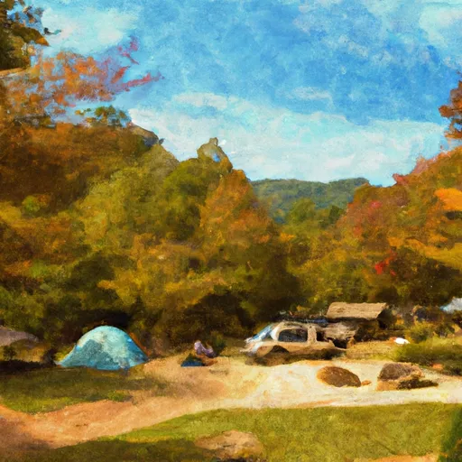 Lil Rock Creek Campground
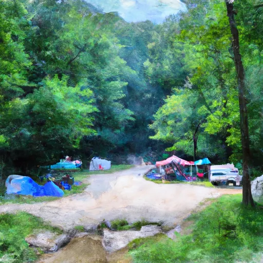 Living Waters Campground
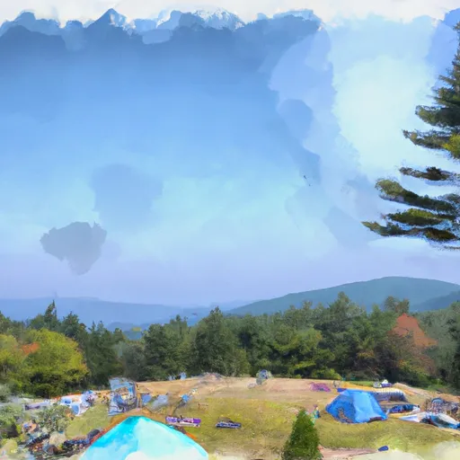 Roan Mountain State Park
 Saylor Lake RV Park
 Mountain View Motorcycle Campground
 Buck Hill Campground