2026-02-23T10:00:00-05:00
* WHAT...Very cold wind chills ranging from 10 degrees above zero to a few degrees below zero expected. * WHERE...Portions of central, east central, north central, northeast, northwest, southeast, and west central Georgia. * WHEN...From 1 AM to 10 AM EST Monday. * IMPACTS...Very cold temperatures can lead to hypothermia with prolonged exposure.
Summary
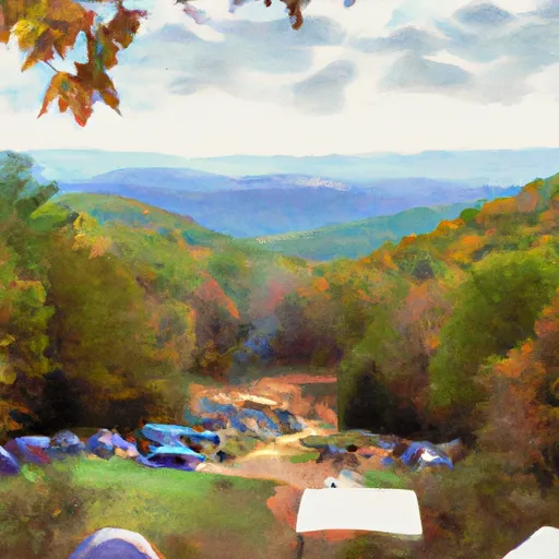
Standing at an elevation of approximately 3,780 feet, it is the southern terminus of the famous Appalachian Trail. This majestic mountain is situated in Fannin County, Georgia, and offers breathtaking views of the surrounding wilderness.
During the winter season, Springer Mountain experiences a variable snowpack range. Due to its lower elevation compared to other peaks in the region, the snowfall is generally less significant. However, it is not uncommon for the mountain to receive a light to moderate snowfall, especially during colder months. Hikers and mountaineers visiting Springer Mountain during winter should be prepared for icy and snowy conditions on the trails.
Additionally, several creeks and rivers in the area receive runoff from Springer Mountain. The most notable one is the Amicalola Creek, which originates from the mountain and flows through the picturesque Amicalola Falls State Park. The Amicalola Falls, located near the base of Springer Mountain, is a popular attraction and the tallest waterfall in Georgia.
The name "Springer" has an interesting history. It is believed to have been derived from the word "spring," referring to the numerous freshwater springs found in the vicinity. These springs served as vital water sources for early settlers and visitors exploring the region. As for legends or lore surrounding the mountain, there are no prominent stories specific to Springer Mountain. However, it holds great significance as the starting point for countless hikers embarking on their journey along the Appalachian Trail.
°F
°F
mph
Wind
%
Humidity
15-Day Weather Outlook
5-Day Hourly Forecast Detail
Regional Streamflow Levels
211
Cubic Feet Per Second
181
Cubic Feet Per Second
334
Cubic Feet Per Second
586
Cubic Feet Per Second
Area Campgrounds
| Location | Reservations | Toilets |
|---|---|---|
 Amicalola Mountain
|
||
 Frank Gross Recreation Area
|
||
 Frank Gross
|
||
 Amicalola Falls State Park
|
||
 Hawk Mountain (Base) Campsite
|
||
 Deep Hole Recreation Area
|
