Summary
Rising to an elevation of 4,426 feet, it stands as a distinctive monolith in the surrounding prairie landscape. Its size is relatively compact, with a circumference of approximately 3 miles, making it easily accessible for hikers and climbers.
During the winter season, Bear Butte experiences a variable snowpack range, influenced by the region's climate patterns. Snowfall accumulation typically ranges from 30 to 60 inches, creating a winter wonderland for outdoor enthusiasts. This snowpack provides opportunities for snowshoeing and cross-country skiing, attracting visitors seeking winter adventures in the area.
Bear Butte serves as a watershed for several creeks and rivers in the region. These waterways, including the Belle Fourche River and Bear Butte Creek, receive runoff from the mountain, ensuring a steady flow of water throughout the year. This runoff not only sustains the local ecosystems but also provides vital resources for nearby communities.
The name "Bear Butte" holds historical and cultural significance. Native American tribes, including the Lakota Sioux, consider it a sacred site and a place of prayer and vision quests. Legends and lore surround Bear Butte, with stories of spiritual encounters and mystical visions experienced by those who have visited. Its designation as a National Historic Landmark in 1981 further emphasizes its cultural importance and the need for its preservation.
In conclusion, Bear Butte is a notable mountain in the North American Plains mountain range. With its distinct elevation, manageable size, and winter snowpack range, it offers a variety of recreational opportunities. Its runoff sustains nearby creeks and rivers, supporting local ecosystems. Additionally, the mountain holds significant cultural and spiritual value, making it a cherished site for Native American tribes and a fascinating destination for visitors seeking to explore its history and legends.
°F
°F
mph
Wind
%
Humidity

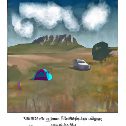 Bear Butte State Park
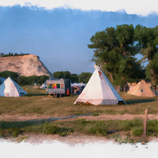 Horsecamp, Camp Site
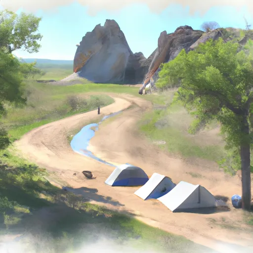 Alkali Creek Horsecamp
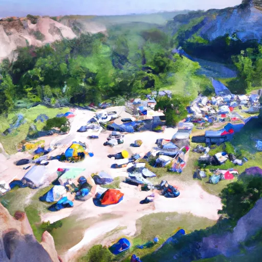 Alkali Creek Camp Site
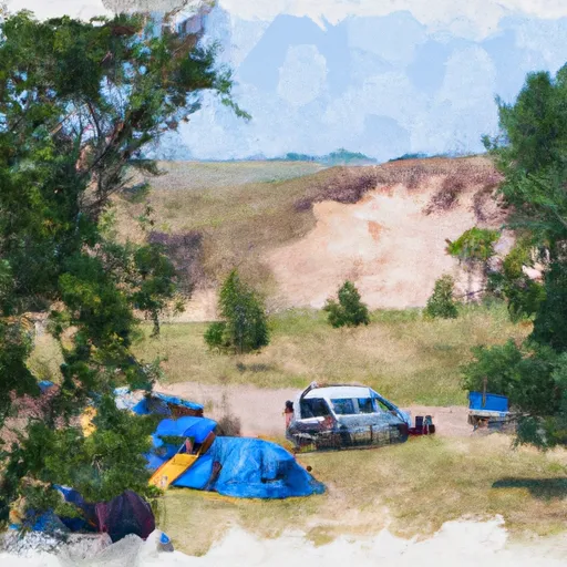 Alkali Creek Campground
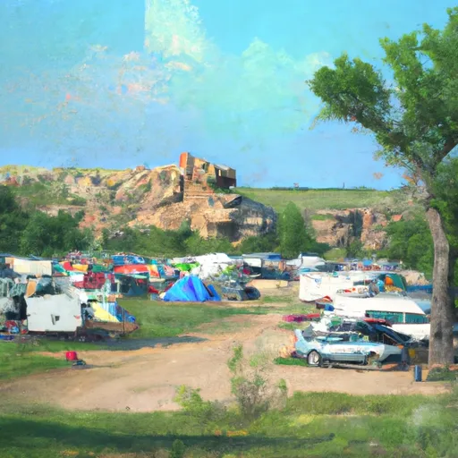 Alkali Creek Campground Host Site