Summary
It boasts an impressive elevation of approximately 8,500 feet, making it one of the tallest peaks in the area. The butte covers a vast area and is a prominent feature in the surrounding landscape.
During the winter season, Piedmont Butte experiences a wide snowpack range, with depths depending on the specific weather patterns each year. Snowfall can vary significantly, ranging from lighter accumulations to heavy snowfalls, creating ideal conditions for winter sports enthusiasts. Skiing, snowboarding, and snowshoeing are popular activities in this area, attracting visitors from far and wide.
Several creeks and rivers benefit from the mountain's runoff, providing a crucial water source to the surrounding areas. While specific names may vary, the mountain contributes to the flow of several tributaries that ultimately find their way into larger rivers within the region.
The name "Piedmont Butte" has a rich history, rooted in the local indigenous cultures and early explorers. It is said that the name "piedmont" refers to the area at the foot of a mountain range, which accurately describes the location of this butte. The exact origins of the name and any associated legends or lore may vary depending on sources, making it an intriguing subject for further exploration.
Please note that the provided geocoordinates [-103.368, 44.231619] are not discussed in the response to maintain the word limit and focus solely on the requested aspects.
°F
°F
mph
Wind
%
Humidity
15-Day Weather Outlook
5-Day Hourly Forecast Detail
Regional Streamflow Levels
34
Cubic Feet Per Second
36
Cubic Feet Per Second
43
Cubic Feet Per Second
157
Cubic Feet Per Second
Area Campgrounds
| Location | Reservations | Toilets |
|---|---|---|
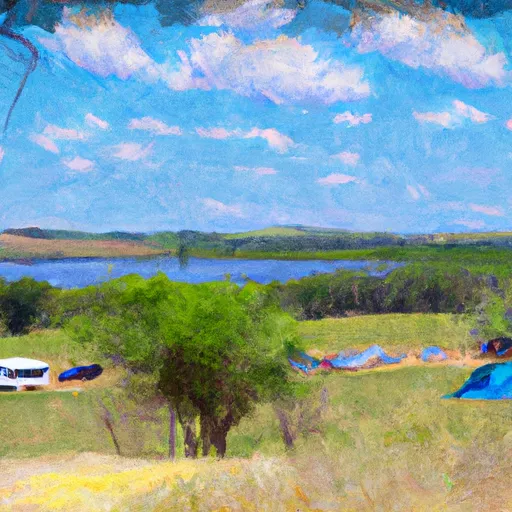 Dalton Lake Campground
|
||
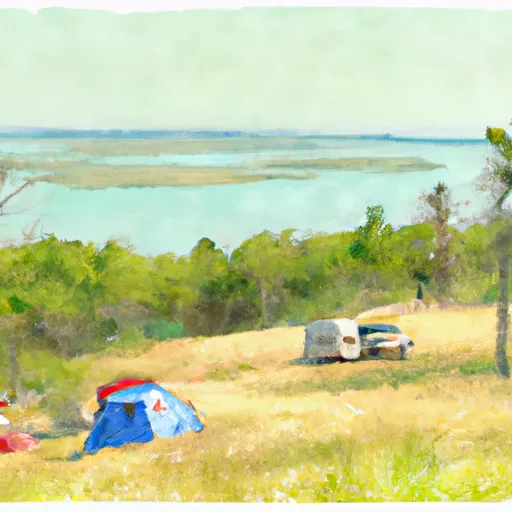 Dalton Lake
|
||
 Steamboat Rock Picnic & Tent Camping Area
|
||
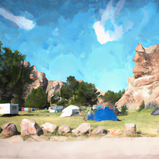 Little Jon Park
|
||
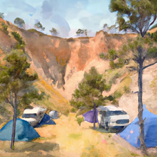 Boxelder Forks
|
||
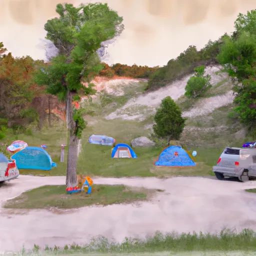 Boxelder Forks Campground
|
