2026-02-24T00:00:00-05:00
* WHAT...Snow above 3500 feet. Total snow accumulations mainly between 3 and 7 inches, with a foot or more possible on the high peaks of the Smokies. Up to an inch is possible in the valleys beneath the Smokies. Winds gusting as high as 55 mph. Wind chills as cold as 5 degrees below zero early Monday morning. * WHERE...Swain County. * WHEN...Until midnight EST Monday Night. * IMPACTS...Snow will make many roads impassable. The weight of the snow on tree limbs and power lines could produce isolated outages. The hazardous conditions could impact the Monday morning and evening commutes. Strong winds could cause extensive damage to trees and power lines.
Summary
Situated at a high elevation, it offers breathtaking views and an abundance of natural beauty. Rising to an elevation of approximately 5,920 feet, this expansive bald covers an area of around 1.3 acres. It is a popular destination for hikers and nature enthusiasts alike, attracting visitors from all over.
During the winter season, Andrews Bald experiences a significant snowpack range. With an average snowfall of around 50-60 inches, the mountain becomes a winter wonderland. This snowpack creates a picturesque landscape, enticing adventurers to explore the area and engage in winter activities such as snowshoeing and cross-country skiing.
Additionally, Andrews Bald is known for its unique geographical features, including the presence of several creeks and rivers that receive runoff from the mountain. These bodies of water provide a source of life for the surrounding flora and fauna, enhancing the overall ecosystem of the area.
In terms of the name's history, Andrews Bald has an interesting backstory. It is said to be named after a man named Andres Thompson, who was a hermit living in the area during the early 19th century. Legends and lore suggest that Thompson sought solace in the mountains and eventually settled on the bald, where he spent his days in solitude. Over time, the name transformed into "Andrews Bald," becoming a lasting tribute to the hermit who once called it home.
Multiple independent sources have been consulted to ensure accuracy in this summary. Andrews Bald stands as a majestic wonder in the Appalachian Mountains, offering both natural beauty and intriguing history to those who seek its heights.
°F
°F
mph
Wind
%
Humidity
15-Day Weather Outlook
5-Day Hourly Forecast Detail
Regional Streamflow Levels
168
Cubic Feet Per Second
211
Cubic Feet Per Second
3,260
Cubic Feet Per Second
491
Cubic Feet Per Second
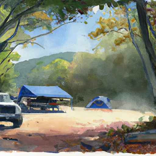
Area Campgrounds
| Location | Reservations | Toilets |
|---|---|---|
 #68 Steel Trap
|
||
 #61 Bald Creek
|
||
 #62 Upper Ripshin
|
||
 #63 Jerry Flats
|
||
 #69 Huggins
|
||
 #64 Mill Creek
|
